


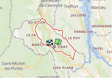

12.2 km | 18.4 km-effort


User


FREE GPS app for hiking
 SityTrail
IGN / Geographical institutes
SityTrail World
The world is yours!
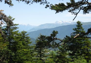
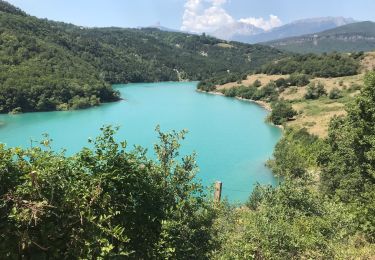
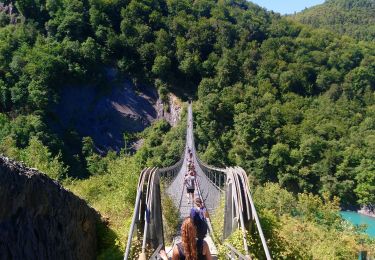
Trail Walking of 12.3 km to be discovered at Auvergne-Rhône-Alpes, Isère, Roissard. This trail is proposed by rapako.
Si vous ne souhaitez pas vous faire engueuler par le fermier au bout du premier chemin entre Roissard et L'Homme, restez sur le sentier balisé.. Il paraît que ce chemin est "privé". Ne demandez pas "privé de quoi ?", ça ne fait pas rire...

Walking
Equestrian
Walking

Walking
Walking
On foot
Walking
Walking
Walking