![](/images/other/stat-length.png)
![Trail Walking Cherves-Châtelars - les Chatelars en Charente - Photo](https://media.geolcdn.com/t/1900/400/ext.pjpeg?maxdim=2&url=https%3A%2F%2Fservices.sitytrail.com%2FGeolivesWS%2FDownloadMedia.ashx%3FTrailID%3D358775%26Media%3Dfix__20141031122850.jpg)
les Chatelars en Charente
rougilabuse
User
![Length](/images/other/stat-length.png)
![Max alt](https://static1.geolcdn.com/siteimages/upload/files/1508320355ic_sort_altitude_max_24dp.png)
![Uphill gradient](https://static1.geolcdn.com/siteimages/upload/files/1508320355ic_sort_den_pos_24dp.png)
![Km-Effort](/images/other/stat-length.png)
![Min alt](https://static1.geolcdn.com/siteimages/upload/files/1508320355ic_sort_altitude_min_24dp.png)
![Downhill gradient](https://static1.geolcdn.com/siteimages/upload/files/1508320355ic_sort_den_neg_24dp.png)
![Boucle](https://static1.geolcdn.com/siteimages/upload/files/16400158638029165_repeat_loop_refresh_sync_direction_icon.png)
![Walking](https://static1.geolcdn.com/sitytour/trail-icons/101.png)
4h38
Difficulty : Medium
![Scan this QR Code to open this trail in the SityTrail application](https://capi.geolives.com/qq0zvz2zws4bq2lad0pu/sitytour/trails/358775/qr.png?size=200)
FREE GPS app for hiking
About
Trail Walking of 17.5 km to be discovered at New Aquitaine, Charente, Cherves-Châtelars. This trail is proposed by rougilabuse.
Description
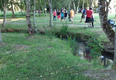
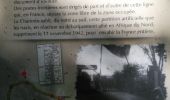
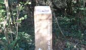
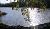
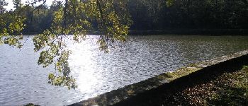
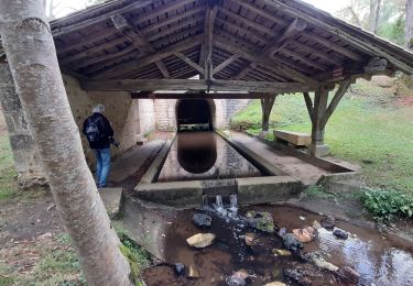
j'ai jumelé 2 randos de la fiche n°10 des Hautes Charente. je suis parti d'Etamena. je me suis garé vers un ancien abreuvoir ou coule une eau limpide et, parait-il potable. Dans le bassin, fin octobre 2014 de magnifiques carpes évoluaient.J'ai choisi de faire cette rando dans le sens inverse des aiguilles d'une montre.
Positioning
Comments
Trails nearby
![Trail Walking Saint-Adjutory - Saint Adjutoy 16 110 avec un départ du Maine Cruvier - Photo](https://media.geolcdn.com/t/375/260/306ced33-9114-40b8-89bc-ffef47aeb853.jpg&format=jpg&maxdim=2)
![Walking Walking](https://static1.geolcdn.com/sitytour/trail-icons/101.png)
Walking
![](/images/other/stat-length.png)
![](https://static1.geolcdn.com/siteimages/upload/files/16400158638029165_repeat_loop_refresh_sync_direction_icon.png)
![Trail Walking Saint-Adjutory - st adjutory - Photo](https://media.geolcdn.com/t/375/260/072d3353-29cb-4ace-afe6-8052e875ff72.jpg&format=jpg&maxdim=2)
![Walking Walking](https://static1.geolcdn.com/sitytour/trail-icons/101.png)
Walking
![](/images/other/stat-length.png)
![](https://static1.geolcdn.com/siteimages/upload/files/16400158638029165_repeat_loop_refresh_sync_direction_icon.png)
![Trail Walking Cherves-Châtelars - Cherves Chatelard et l'étang du gazon - Photo](https://media.geolcdn.com/t/375/260/ext.jpg?maxdim=2&url=https%3A%2F%2Fservices.sitytrail.com%2FGeolivesWS%2FDownloadMedia.ashx%3FTrailID%3D885811%26Media%3Dfix__20180111160447.jpg)
![Walking Walking](https://static1.geolcdn.com/sitytour/trail-icons/101.png)
Walking
![](/images/other/stat-length.png)
![](https://static1.geolcdn.com/siteimages/upload/files/16400158638029165_repeat_loop_refresh_sync_direction_icon.png)