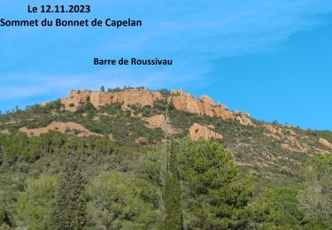
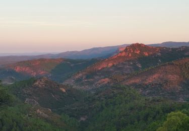
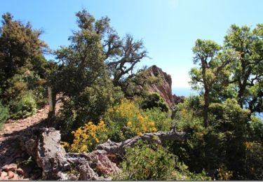
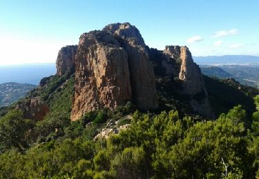
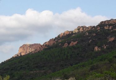
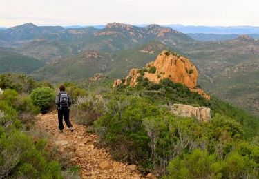
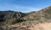
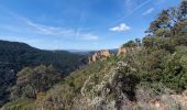
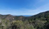
Trail Walking Saint-Raphaël - ESTEREL trace Pic de l,Ours  - Photo

ESTEREL trace Pic de l,Ours

© OpenStreetMap contributors
Length
Length
18.5 km
Max alt
Max alt
480 m
Uphill gradient
Uphill gradient
555 m
Km-Effort
Km-Effort  
26 km
Min alt
Min alt
26 m
Downhill gradient
Downhill gradient
555 m
Boucle
Boucle
Yes
Creation date :
2023-03-16 07:57:43.468
Updated on :
2023-03-25 11:53:07.981

(0 Reviews)

Walking
Walking
5h00
Difficulty : Difficult

Scan this QR Code to open this trail in the SityTrail application

FREE GPS app for hiking

Logo SityTrail SityTrail
IGN / Geographical institutes

Download SityTrail from the App Store Download SityTrail from Google Play

Logo SityTrail SityTrail World

The world is yours!

Download SityTrail from the App Store Download SityTrail from Google Play Download SityTrail on Huawei AppGallery

About

Trail Walking of 18.5 km to be discovered at Provence-Alpes-Côte d'Azur, Var, Saint-Raphaël. This trail is proposed by TOULAUDIN.

Description

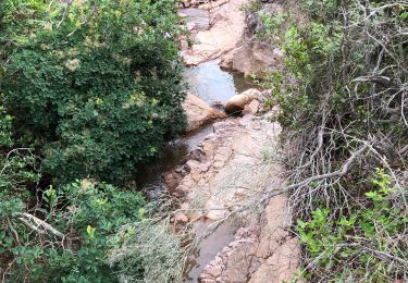
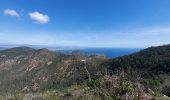
trace enregistrée randonnée effectuée le 16/3/23 .très beau parcours mais assez long ATTENTION ne pas faire en période de fortes pluies car il y a des passages qui risquent  d'être inondées infranchissables à l'arrivée à l'Ecureuil et plus loin le Gué ( se renseigner) de plus,  le passage à l'Ecureuil s'est effondré du au torrent .d'ou l'hésitation à retrouver le chemin. à Noter aussi au col Notre Dame table pique Nique. le sentier entre Notre Dame et l'Ecureil n'est plus Officiel ( ancienne trace bleue ..peut-être à cause des passages à gué aléatoires...pourtant trè beau sentier  et le retour par la ravin de Mal infernet à ne pas manquer...du col des lenstiques au pic de l'Ours , c'est le passage le plus pentu mais sans difficulté...par contre la descente du Pic au col notre Dame assez raide et pas facile....pour cette randonnée avoir de bonnes chaussures car sentier majoritairement "caillouteux"

Elevation profile

Photos

Positioning

Country:
France
Region :
Provence-Alpes-Côte d'Azur
Department/Province :
Var
Municipality :
Saint-Raphaël
Location:
Unknown
Start:(UTM)
327566 ; 4813702 (32T) N.

Trails nearby

Trail Walking Saint-Raphaël - Sommet du Bonnet de Capelan - Photo
Walking
GUIDE
donda

Walking

Very difficult
(1)
Saint-Raphaël, Provence-Alpes-Côte d'Azur, Var, France
17.7 km | 25 km-effort
4h 40min
Yes
Trail Walking Saint-Raphaël - Massif d'ésterel-grande boucle pic cap roux - Photo
Walking
jeromelacoste

Walking

Medium
(2)
Saint-Raphaël, Provence-Alpes-Côte d'Azur, Var, France
10.4 km | 17.5 km-effort
2h 58min
Yes
Trail Walking Saint-Raphaël - Les lacs par les rochers du Caneiret - Photo
Walking
ETMU5496

Walking

Medium
(1)
Saint-Raphaël, Provence-Alpes-Côte d'Azur, Var, France
20 km | 29 km-effort
5h 7min
Yes
Trail Walking Saint-Raphaël - le Dramont - Photo
Walking
GUIDE
donda

Walking

Medium
(2)
Saint-Raphaël, Provence-Alpes-Côte d'Azur, Var, France
5.7 km | 8.3 km-effort
2h 32min
Yes
Trail Walking Saint-Raphaël - Le tour du Pic du Cap Roux - St Raphaël (Agay) - Photo
Walking
tracegps

Walking

Medium
(2)
Saint-Raphaël, Provence-Alpes-Côte d'Azur, Var, France
7.2 km | 12.8 km-effort
2h 0min
Yes
Trail Walking Saint-Raphaël - Pic du Cap Roux - Photo
Walking
Kilroy06

Walking

Very easy
(4)
Saint-Raphaël, Provence-Alpes-Côte d'Azur, Var, France
4.1 km | 7.8 km-effort
1h 17min
Yes
Trail Walking Saint-Raphaël - SityTrail - ND - Aiguille  - Photo
Walking
GUIDE
jouans

Walking

Very difficult
(1)
Saint-Raphaël, Provence-Alpes-Côte d'Azur, Var, France
18.1 km | 29 km-effort
6h 40min
Yes
Trail Walking Saint-Raphaël - Agay - Sainte-Barbe - Étang des Nénuphares - Photo
Walking
E.BURCK

Walking

Easy
(2)
Saint-Raphaël, Provence-Alpes-Côte d'Azur, Var, France
5 km | 6.2 km-effort
2h 8min
Yes
Trail Walking Saint-Raphaël - Tour du Pic de l'Ours - Le Trayas - Photo
Walking
tracegps

Walking

Medium
(1)
Saint-Raphaël, Provence-Alpes-Côte d'Azur, Var, France
9.5 km | 16 km-effort
3h 0min
Yes


Close
My subscriptions