20 km | 26 km-effort
fondremand
sergelopez
User
Length
12 km
Max alt
444 m
Uphill gradient
285 m
Km-Effort
15.8 km
Min alt
252 m
Downhill gradient
289 m
Boucle
Yes
Creation date :
2023-03-16 07:56:50.285
Updated on :
2023-03-16 11:22:19.612
3h24
Difficulty : Very easy
FREE GPS app for hiking
About
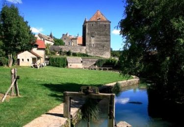
Trail Nordic walking of 12 km to be discovered at Bourgogne-Franche-Comté, Haute-Saône, Fondremand. This trail is proposed by sergelopez.
Positioning
Country:
France
Region :
Bourgogne-Franche-Comté
Department/Province :
Haute-Saône
Municipality :
Fondremand
Location:
Unknown
Start:(Dec)
Start:(UTM)
275712 ; 5262344 (32T) N.
Comments
Trails nearby
Tresilley 19 nov 2019 CAF
Walking
Difficult
Trésilley,
Bourgogne-Franche-Comté,
Haute-Saône,
France
6h 52min
Yes
Fondremand, petite cité comtoise de caractère
Walking
Easy
Fondremand,
Bourgogne-Franche-Comté,
Haute-Saône,
France
2.5 km | 3.7 km-effort
1h 0min
Yes
Fondremand Ouest
Mountain bike
Difficult
(1)
Fondremand,
Bourgogne-Franche-Comté,
Haute-Saône,
France
21 km | 27 km-effort
2h 15min
Yes
Maizière-Gy
Walking
Easy
Maizières,
Bourgogne-Franche-Comté,
Haute-Saône,
France
25 km | 32 km-effort
6h 39min
No
2020-01-16_08h26m36
Walking
Difficult
Rioz,
Bourgogne-Franche-Comté,
Haute-Saône,
France
18.5 km | 24 km-effort
5h 6min
Yes
Gouffre de rouge terre
Walking
Fondremand,
Bourgogne-Franche-Comté,
Haute-Saône,
France
6.8 km | 8.5 km-effort
1h 56min
No
le gouffre de rouge terre
Walking
Very easy
Fondremand,
Bourgogne-Franche-Comté,
Haute-Saône,
France
6.3 km | 7.8 km-effort
1h 6min
No
Bois noroy
Walking
Medium
Mailley-et-Chazelot,
Bourgogne-Franche-Comté,
Haute-Saône,
France
5.5 km | 7 km-effort
1h 35min
Yes
de tresilley a villers bouton
Walking
Very difficult
Trésilley,
Bourgogne-Franche-Comté,
Haute-Saône,
France
21 km | 27 km-effort
6h 10min
Yes