Trail Nordic walking Mérifons - Malavieille - Montagne de la Boutine - Photo

Malavieille - Montagne de la Boutine

 mdauzat
mdauzat

User

© OpenStreetMap contributors
Length
Length
7 km
Max alt
Max alt
384 m
Uphill gradient
Uphill gradient
204 m
Km-Effort
Km-Effort  
9.7 km
Min alt
Min alt
178 m
Downhill gradient
Downhill gradient
204 m
Boucle
Boucle
Yes
Creation date :
2023-03-14 20:23:43.988
Updated on :
2024-04-17 09:38:21.231

(1 Reviews)

Nordic walking
Nordic walking
0m
Difficulty : Easy

Scan this QR Code to open this trail in the SityTrail application

FREE GPS app for hiking

Logo SityTrail SityTrail
IGN / Geographical institutes

Download SityTrail from the App Store Download SityTrail from Google Play

Logo SityTrail SityTrail World
The world is yours!

Download SityTrail from the App Store Download SityTrail from Google Play Download SityTrail on Huawei AppGallery

About

Trail Nordic walking of 7 km to be discovered at Occitania, Hérault, Mérifons. This trail is proposed by mdauzat.

Description

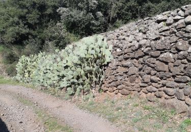
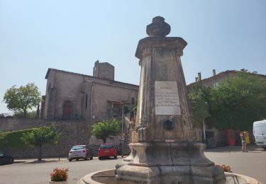
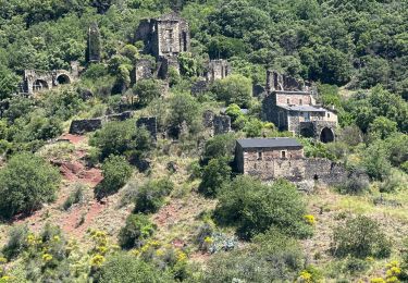
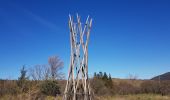
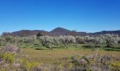
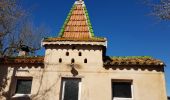
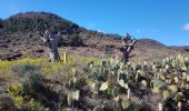
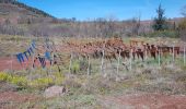
En venant d'Octon, sur la route départementale D8E3, environ 500 m après le hameau de Malavieille (commune de Mérifons), on trouve, à droite, une aire de stationnement dédiée aux randonneurs, au panneau indiquant le lieu-dit "Moulinas". La piste s'oriente d'abord vers le nord, longeant, à droite, une belle oliveraie, puis passe entre de véritables haies de figuiers de barbarie, et rejoint rapidement "Moulinas" reconnaissable à sa décoration originale.
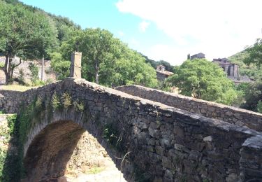
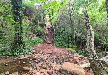
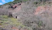
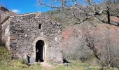
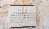
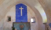
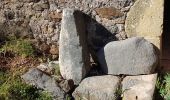
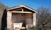
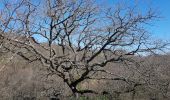
On prend alors à gauche la piste qui suit le ruisseau "Le Lignous" et l'on trouve, à droite un peu en contre-bas, la charmante petite chapelle de Saint-Fulcran, avec un autel intérieur et la plaque commémorative du millénaire (1923) de la naissance de ce saint, et son autel extérieur flanqué d'un magnifique chêne.
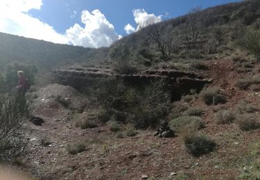
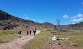
La piste entreprend alors de monter en lacets sur le flanc est de la "Montagne de la Boutine", offrant déjà, quand on prend le temps de se retourner, de belles vues sur la plaine, son moulin, et, au pied du Mont Liausson, le village de Salasc.
On atteint ainsi le hameau "Pradels", aussitôt après lequel on tourne à gauche (après la prairie cloturée) pour prendre la large piste qui amène rapidement au col (avec une vue sur "Roque Longue" et l'étroite vallée du ruisseau de Rieupeyre).
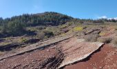
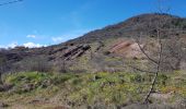
La suite se fait dans la forêt, et l'on commence à apercevoir, à travers les arbres, le Lac du Salagou. Un peu plus loin, lorsque la vue se dégage, un décor grandiose apparaît avec le Lac en belle perspective les collines et presqu'iles de La Sure et Rouens, le mont Saint-Baudille, le Pic Saint-Loup...
Une belle boucle, sans difficulté, dans un beau décor qui sent déjà le printemps !

Elevation profile

Photos

33 photos in total. Please click on a photo to see them all in the gallery.

Positioning

Country:
France
Region :
Occitania
Department/Province :
Hérault
Municipality :
Mérifons
Location:
Unknown
Start:(UTM)
523424 ; 4831308 (31T) N.

Comments

Please log in to post a review or rate the element


Trails nearby

Trail Walking Mérifons - Chemin Vicinal N°13 de Carlencas - Photo
Walking
jdelettrez

Walking

Medium
(2)
Mérifons, Occitania, Hérault, France
8.5 km | 12 km-effort
2h 30min
Yes
Trail Walking Pézènes-les-Mines - PEZENES les mines / FOS - Photo
Walking
mrclic34

Walking

Easy
(1)
Pézènes-les-Mines, Occitania, Hérault, France
14.5 km | 19.2 km-effort
3h 45min
Yes
Trail Walking Octon - Octon (chapelle Notre Dame de Roubignac) - Photo
Walking
coulombf

Walking

Easy
(1)
Octon, Occitania, Hérault, France
14.7 km | 20 km-effort
5h 0min
Yes
Trail Walking Octon - 34 octon ND roubignac - Photo
Walking
GUIDE
randodyssée

Walking

Easy
Octon, Occitania, Hérault, France
14 km | 19.8 km-effort
5h 10min
No
Trail Mountain bike Octon - Octon 2017 - Photo
Mountain bike
pates_au_chaud

Mountain bike

Difficult
(1)
Octon, Occitania, Hérault, France
37 km | 48 km-effort
3h 4min
Yes
Trail Walking Mérifons - malevielle  - Photo
Walking
pipette12

Walking

Very easy
(1)
Mérifons, Occitania, Hérault, France
14.8 km | 20 km-effort
4h 19min
Yes
Trail Walking Octon - Octon - Chapelle ND de Roubignac et ruine château de Lauzières - Photo
Walking
Bart2015

Walking

Medium
Octon, Occitania, Hérault, France
11.9 km | 15.9 km-effort
3h 3min
Yes
Trail sport Octon - Octon dolmen château chapelle 2024 - Photo
sport
alinetpierre

sport

Very easy
Octon, Occitania, Hérault, France
13.9 km | 19.3 km-effort
Unknown
Yes
Trail Walking Octon - ND_Roubignac - Photo
Walking
v.rabot

Walking

Medium
Octon, Occitania, Hérault, France
8.1 km | 11.4 km-effort
3h 11min
Yes


Close
My subscriptions