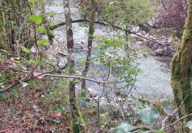
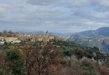
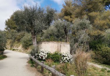
21 km | 30 km-effort
nice ouest Saint paul vence gattieres carros retour nice
Riviera Sport
User
Length
62 km
Max alt
355 m
Uphill gradient
894 m
Km-Effort
74 km
Min alt
0 m
Downhill gradient
894 m
Boucle
Yes
Creation date :
2022-12-27 19:04:06.804
Updated on :
2023-03-11 19:27:47.739
4h28
Difficulty : Medium
FREE GPS app for hiking
About
Trail Road bike of 62 km to be discovered at Provence-Alpes-Côte d'Azur, Maritime Alps, Nice. This trail is proposed by Riviera Sport.
Positioning
Country:
France
Region :
Provence-Alpes-Côte d'Azur
Department/Province :
Maritime Alps
Municipality :
Nice
Location:
Unknown
Start:(Dec)
Start:(UTM)
355061 ; 4839024 (32T) N.
Comments
Trails nearby
Collines niçoises
Walking
Easy
(1)
Nice,
Provence-Alpes-Côte d'Azur,
Maritime Alps,
France
6h 32min
No
La Gaude - Bord de Cagnes
Walking
Very difficult
La Gaude,
Provence-Alpes-Côte d'Azur,
Maritime Alps,
France
7.7 km | 11.4 km-effort
3h 19min
Yes
nice
On foot
Very easy
(1)
Nice,
Provence-Alpes-Côte d'Azur,
Maritime Alps,
France
10.7 km | 12.8 km-effort
3h 0min
Yes
--Nice-- OR-4841354:UTCAM2015_tracé final
Running
Very difficult
(1)
Nice,
Provence-Alpes-Côte d'Azur,
Maritime Alps,
France
141 km | 276 km-effort
Unknown
No
la gaude-le broc
Road bike
Difficult
La Gaude,
Provence-Alpes-Côte d'Azur,
Maritime Alps,
France
44 km | 52 km-effort
2h 12min
Yes
Parc Départemenatl d'Estienne d Orves
Walking
Very easy
Nice,
Provence-Alpes-Côte d'Azur,
Maritime Alps,
France
4.9 km | 7 km-effort
1h 0min
Yes
Sortie Nice
Car
Nice,
Provence-Alpes-Côte d'Azur,
Maritime Alps,
France
10.2 km | 11.7 km-effort
12min
No
jcn nice Promenade des anglais
Electric bike
Very easy
Nice,
Provence-Alpes-Côte d'Azur,
Maritime Alps,
France
24 km | 27 km-effort
2h 29min
Yes
La Gaude ballade dans les environs
Walking
Medium
La Gaude,
Provence-Alpes-Côte d'Azur,
Maritime Alps,
France
7.5 km | 10.1 km-effort
2h 8min
Yes