


Semeru (Projet)

lhomme.ph
User GUIDE
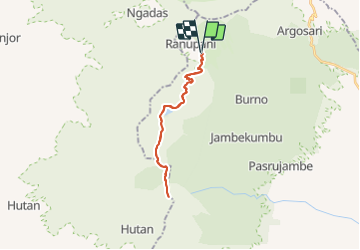

Length
33 km

Max alt
3665 m

Uphill gradient
2421 m
Km-Effort
65 km

Min alt
2086 m

Downhill gradient
2421 m
Boucle
Yes
Creation date :
2018-04-28 00:00:00.0
Updated on :
2018-04-28 00:00:00.0
12h47
Difficulty : Difficult

FREE GPS app for hiking
 SityTrail
IGN / Geographical institutes
SityTrail World
The world is yours!
About
Trail Walking of 33 km to be discovered at East Java. This trail is proposed by lhomme.ph.
Positioning
Country:
Indonesia
Region :
East Java
Department/Province :
Unknown
Municipality :
Unknown
Location:
Unknown
Start:(Dec)
Start:(UTM)
714295 ; 9114092 (49L) S.
Comments
Trails nearby