


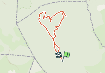

12.6 km | 16.7 km-effort

User


FREE GPS app for hiking
 SityTrail
IGN / Geographical institutes
SityTrail World
The world is yours!
Trail Walking of 9.4 km to be discovered at Provence-Alpes-Côte d'Azur, Var, Solliès-Toucas. This trail is proposed by chrifor.
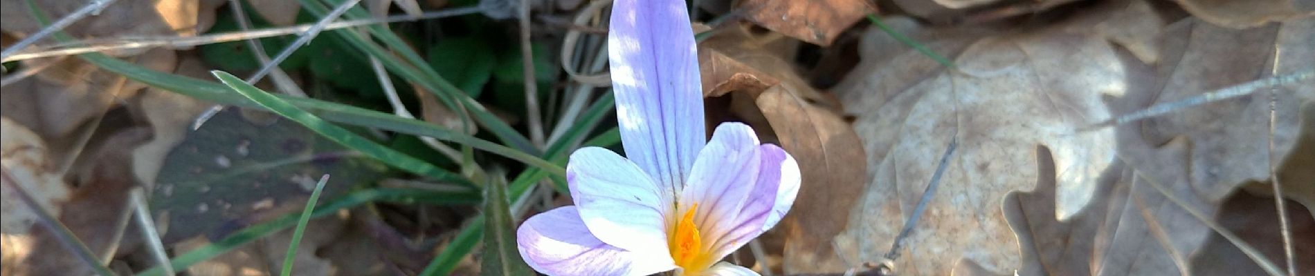
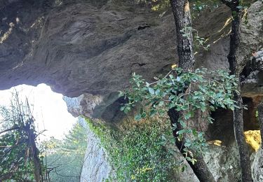
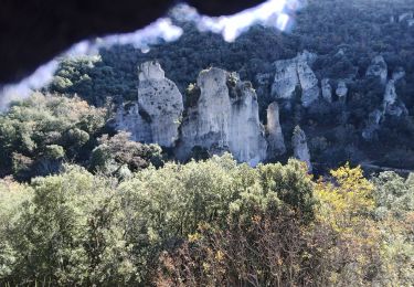
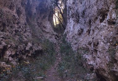
A la découverte des gouffres, arches, grottes, hippopotame, éléphant et autres surprises géologiques du plateau de Signes.
A compléter.


Walking
Walking

Walking

Walking

Walking

Walking
Running
Trail

Walking