


22 km | 25 km-effort


User


FREE GPS app for hiking
 SityTrail
IGN / Geographical institutes
SityTrail World
The world is yours!
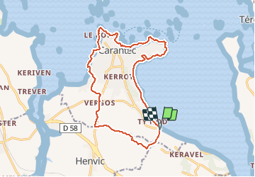
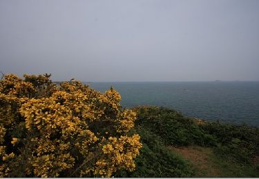
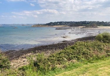
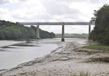
Trail Walking of 15.9 km to be discovered at Brittany, Finistère, Carantec. This trail is proposed by Bobol.
Seule la partie ouest est moins intéressante. De plus le retour sur la route (au niveau du rond-point) est limite, les gens roulent comme des fous. Sinon le reste est super sympa!


Walking
Other activity
Walking
Walking
Walking
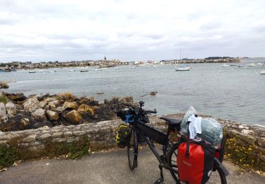
Bicycle tourism
Walking
On foot