


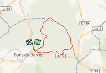

10.7 km | 13.6 km-effort


User


FREE GPS app for hiking
 SityTrail
IGN / Geographical institutes
SityTrail World
The world is yours!
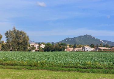
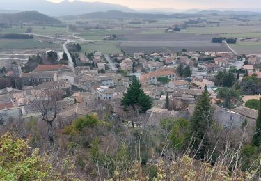
Trail Walking of 7.1 km to be discovered at Auvergne-Rhône-Alpes, Drôme, Pont-de-Barret. This trail is proposed by parastat.
Dans la montée quelques parties raides, mais très courtes.
Ce sens permet d'avoir une descente relax.
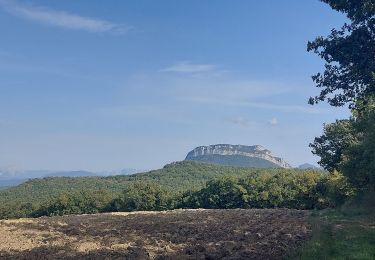
Au point 3,6km prendre le petit sentier sur la gauche, sur une 20aine de m: beau point de vue (voir photos).


Walking
Walking

Walking

Walking

Walking
Walking

On foot

Walking

Walking