38 km | 45 km-effort
troncais liaudais
lol63
User
Length
6.9 km
Max alt
322 m
Uphill gradient
118 m
Km-Effort
8.4 km
Min alt
227 m
Downhill gradient
118 m
Boucle
Yes
Creation date :
2023-03-04 16:02:52.717
Updated on :
2023-03-04 17:38:11.842
31m
Difficulty : Medium
FREE GPS app for hiking
About
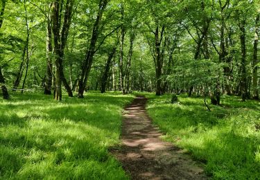
Trail Walking of 6.9 km to be discovered at Auvergne-Rhône-Alpes, Allier, Meaulne-Vitray. This trail is proposed by lol63.
Positioning
Country:
France
Region :
Auvergne-Rhône-Alpes
Department/Province :
Allier
Municipality :
Meaulne-Vitray
Location:
Meaulne
Start:(Dec)
Start:(UTM)
473288 ; 5158856 (31T) N.
Comments
Trails nearby
rouge et noir
Mountain bike
Very difficult
Le Brethon,
Auvergne-Rhône-Alpes,
Allier,
France
4h 21min
Yes
Vallon - St Vitte - Villeneuve - Vallon
Mountain bike
Medium
Vallon-en-Sully,
Auvergne-Rhône-Alpes,
Allier,
France
19.7 km | 22 km-effort
1h 28min
No
urcay
Mountain bike
Very difficult
Urçay,
Auvergne-Rhône-Alpes,
Allier,
France
44 km | 52 km-effort
3h 40min
Yes
URCAY
Mountain bike
Very difficult
Urçay,
Auvergne-Rhône-Alpes,
Allier,
France
44 km | 52 km-effort
3h 15min
Yes
LE BRETHON
Mountain bike
Very difficult
Le Brethon,
Auvergne-Rhône-Alpes,
Allier,
France
38 km | 46 km-effort
4h 7min
No
Ligne 1
Walking
Difficult
Épineuil-le-Fleuriel,
Centre-Loire Valley,
Cher,
France
15.3 km | 16.8 km-effort
3h 49min
Yes
Meaulne Tronçais GR
Mountain bike
Very difficult
Le Brethon,
Auvergne-Rhône-Alpes,
Allier,
France
49 km | 60 km-effort
4h 58min
Yes