


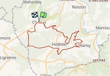

18.4 km | 24 km-effort

User


FREE GPS app for hiking
 SityTrail
IGN / Geographical institutes
SityTrail World
The world is yours!
Trail Walking of 20 km to be discovered at Wallonia, Luxembourg, Rendeux. This trail is proposed by Thierry Deppe.
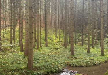
Superbe points de vues de la vallée de l’Ourthe
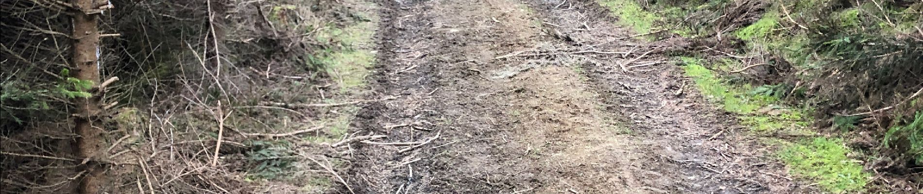
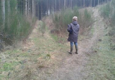
Un peu de hors piste
Début assez difficile, cote avec ronces…
Attention chaussures étanches conseillées


Walking

Walking

Walking

Walking

Walking


Walking
Walking
Walking