Trail Walking Chastre - gb - chastre grand tour fractionnable  - Photo

gb - chastre grand tour fractionnable

© OpenStreetMap contributors
Length
Length
28 km
Max alt
Max alt
163 m
Uphill gradient
Uphill gradient
270 m
Km-Effort
Km-Effort  
32 km
Min alt
Min alt
111 m
Downhill gradient
Downhill gradient
270 m
Boucle
Boucle
Yes
Creation date :
2023-03-03 07:23:59.58
Updated on :
2023-03-03 14:33:57.307

(0 Reviews)

Walking
Walking
5h49
Difficulty : Very difficult

Scan this QR Code to open this trail in the SityTrail application

FREE GPS app for hiking

Logo SityTrail SityTrail

IGN / Geographical institutes

Download SityTrail from the App Store Download SityTrail from Google Play

Logo SityTrail SityTrail World

The world is yours!

Download SityTrail from the App Store Download SityTrail from Google Play Download SityTrail on Huawei AppGallery

About

Trail Walking of 28 km to be discovered at Wallonia, Walloon Brabant, Chastre. This trail is proposed by Charles Lemaire.

Description

A partir de la gare de Chastre, une série de boucles pour découvrir les 7 villages et les 8 clochers de Chastre.

Point de départ: en train (arret sncb de Chastre) ou bus (gare tec de Chastre) ; en voiture (parking de la maison communale, rue du Castillon, à quelques centaines de mètres de la fin de la promenade).
Presque toute la promenade est aussi accessible aux vélos tout chemins ; elle ne présente pas de difficulté particulière, à part sa longueur.

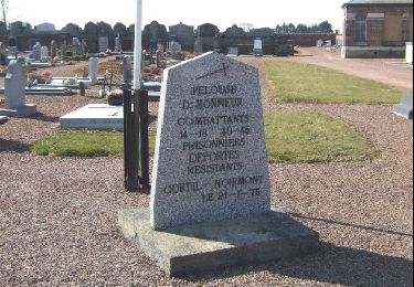
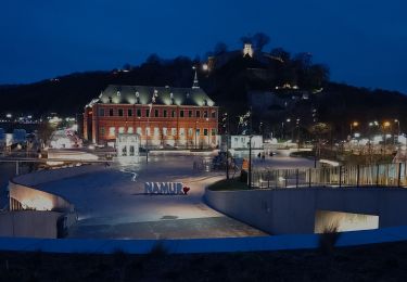
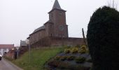
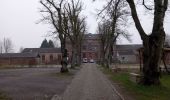
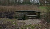
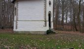
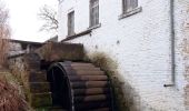
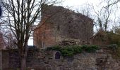
Point illustrés: Eglise de Noirmont, Moulin de Noirmont, Eglise de Cortil, Tensoul, Musée Français, Eglise de Saint Géry, Fontaine St Géry, Bois de l'ermitage, Chapelle de l'ermitage, Mémorial Kongolo, Eglise de Gentinnes, Moulin Dussart, Tour de sarrasins, Croix St Gery, Eglise de Villeroux, Eglise de Chastre, Moulin Al Poudre, Eglise de Blanmont, Chateau de Blanmont, Moulin de Godeupont, Maison communale de Chastre, Place de la gare de Chastre

Elevation profile

Photos

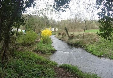
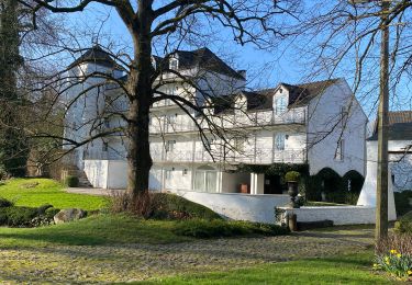
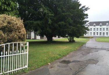
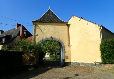
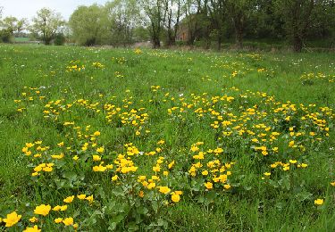
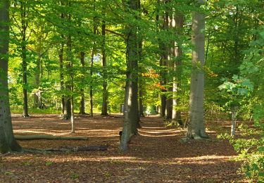
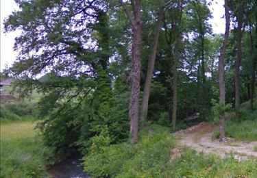
29 photos in total. Please click on a photo to see them all in the gallery.

Positioning

Country:
Belgium
Region :
Wallonia
Department/Province :
Walloon Brabant
Municipality :
Chastre
Location:
Chastre-Villeroux-Blanmont
Start:(UTM)
616729 ; 5607567 (31U) N.

Trails nearby

Trail Walking Mont-Saint-Guibert - Balade à Mont-Saint-Guibert - Photo
Walking
GUIDE
Desrumaux

Walking

Very easy
(2)
Mont-Saint-Guibert, Wallonia, Walloon Brabant, Belgium
8.4 km | 10.1 km-effort
2h 12min
Yes
Trail Walking Chastre - #240223a - Blanmont, Orne, Alvaux, Nil Pierreux*** - Photo
Walking
Randos Ouvertes

Walking

Medium
(1)
Chastre, Wallonia, Walloon Brabant, Belgium
6.6 km | 7.8 km-effort
1h 47min
Yes
Trail Walking Chastre - #230728 - Gentinnes Kongolo - Photo
Walking
Randos Ouvertes

Walking

Easy
(1)
Chastre, Wallonia, Walloon Brabant, Belgium
5 km | 5.6 km-effort
1h 16min
Yes
Trail On foot Walhain - #170829 - Nil Pierreux, carrières de quartzite, Moulin d'Al Poudre et Tour des Sarrasins*** - Photo
On foot
Randos Ouvertes

On foot

Very easy
(2)
Walhain, Wallonia, Walloon Brabant, Belgium
8.1 km | 9.9 km-effort
2h 0min
Yes
Trail Walking Chastre - Promenade de Villeroux - Photo
Walking
Chastre1450

Walking

Medium
(1)
Chastre, Wallonia, Walloon Brabant, Belgium
7.6 km | 8.5 km-effort
1h 53min
Yes
Trail Walking Chastre - Balade récréative de Cortil - Photo
Walking
Chastre1450

Walking

Easy
(4)
Chastre, Wallonia, Walloon Brabant, Belgium
5.9 km | 6.5 km-effort
1h 26min
Yes
Trail Walking Chastre - Balade de la fontaine Saint Géry à Chastre - Photo
Walking
GaetanHouart

Walking

Medium
(1)
Chastre, Wallonia, Walloon Brabant, Belgium
7.6 km | 8.6 km-effort
1h 53min
Yes
Trail Walking Mont-Saint-Guibert - L'Orne_Chateau de Bierbais - Photo
Walking
calofrancis

Walking

Easy
(2)
Mont-Saint-Guibert, Wallonia, Walloon Brabant, Belgium
9.4 km | 11.5 km-effort
2h 28min
Yes
Trail Nordic walking Mont-Saint-Guibert - Mont St Guibert - Photo
Nordic walking
MajoisF

Nordic walking

Very easy
(1)
Mont-Saint-Guibert, Wallonia, Walloon Brabant, Belgium
7.7 km | 9.7 km-effort
2h 2min
Yes


Close
My subscriptions