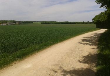
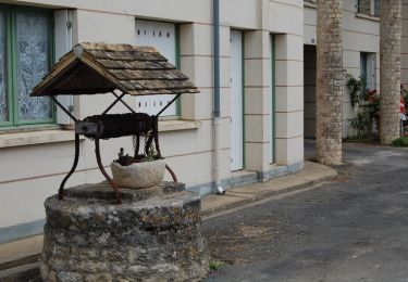
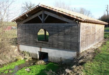
13.9 km | 16.6 km-effort
marché
chmo
User
Length
4.4 km
Max alt
146 m
Uphill gradient
42 m
Km-Effort
5 km
Min alt
125 m
Downhill gradient
44 m
Boucle
Yes
Creation date :
2023-03-03 08:49:20.629
Updated on :
2023-03-03 10:33:15.413
49m
Difficulty : Easy
FREE GPS app for hiking
About
Trail Walking of 4.4 km to be discovered at New Aquitaine, Deux-Sèvres, Melle. This trail is proposed by chmo.
Positioning
Country:
France
Region :
New Aquitaine
Department/Province :
Deux-Sèvres
Municipality :
Melle
Location:
Melle
Start:(Dec)
Start:(UTM)
721412 ; 5123790 (30T) N.
Comments
Trails nearby
Saint-Romans-Lès-Melle
On foot
Easy
(1)
Saint-Romans-lès-Melle,
New Aquitaine,
Deux-Sèvres,
France
3h 47min
Yes
JFT YB Etape8 5-5-2014
Walking
Medium
Melle,
New Aquitaine,
Deux-Sèvres,
France
35 km | 38 km-effort
7h 49min
No
Le Bois de Melle - Saint Léger de la Martinière
Walking
Easy
Melle,
New Aquitaine,
Deux-Sèvres,
France
6.5 km | 7.3 km-effort
1h 40min
Yes
Les Bois de la Garde - Saint Léger de la Martinière
Walking
Easy
Melle,
New Aquitaine,
Deux-Sèvres,
France
5 km | 5.6 km-effort
1h 15min
Yes
VOIE DE TOURS Melle - Aulnay les Saintonges
Walking
Medium
Melle,
New Aquitaine,
Deux-Sèvres,
France
37 km | 41 km-effort
6h 47min
No
Celles sur Bel CH
Walking
Very easy
Celles-sur-Belle,
New Aquitaine,
Deux-Sèvres,
France
6.8 km | 8.2 km-effort
1h 56min
No
Le Bois de Melle
Walking
Very easy
Melle,
New Aquitaine,
Deux-Sèvres,
France
6.5 km | 7.3 km-effort
1h 38min
Yes
Les Bois de la Garde
Walking
Very easy
Melle,
New Aquitaine,
Deux-Sèvres,
France
5 km | 5.6 km-effort
1h 13min
Yes
ghg
Walking
Medium
Marcillé,
New Aquitaine,
Deux-Sèvres,
France
9.1 km | 10.5 km-effort
1h 49min
Yes