


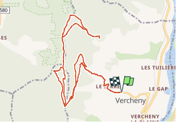

14.1 km | 20 km-effort


User


FREE GPS app for hiking
 SityTrail
IGN / Geographical institutes
SityTrail World
The world is yours!
Trail Walking of 15.8 km to be discovered at Auvergne-Rhône-Alpes, Drôme, Vercheny. This trail is proposed by ajd26.
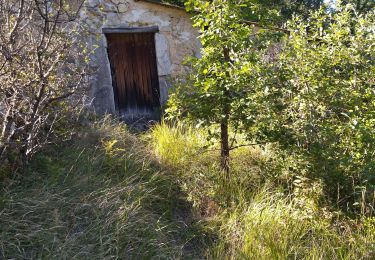
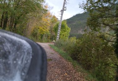
beaux panoramas tout au long du parcours
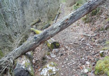
attention au passage sur les crêtes de Gaudichart à partir du km 9,5, le sentier est très peu marqué et la progression est délicate (beaucoup de rochers) mais pas dangereuse

Walking

Walking

Mountain bike

Walking
Walking

Walking
Walking

Walking
Road bike