


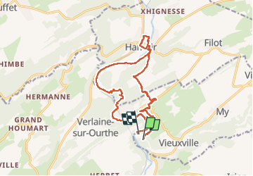

22 km | 28 km-effort

User


FREE GPS app for hiking
 SityTrail
IGN / Geographical institutes
SityTrail World
The world is yours!
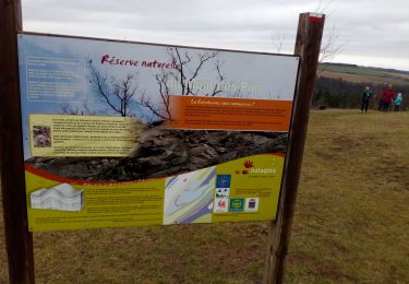
Trail Walking of 16.5 km to be discovered at Wallonia, Liège, Ferrières. This trail is proposed by Thierry Deppe.
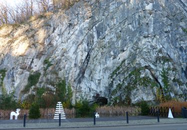
Pas pour les débutants il y a une partie limite escalade mais peut-être évitée il suffit de longer l’eau
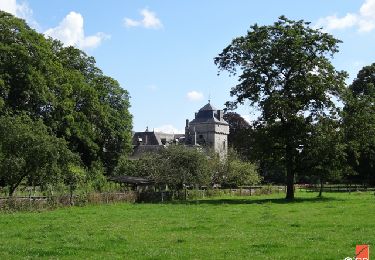
Sinon en hauteur superbe point de vue
A faire :-)


Walking

Walking

Walking

Walking

Walking
Walking

Walking

Walking
Walking