19.1 km | 30 km-effort
Couesque
Max15
User
Length
5.2 km
Max alt
497 m
Uphill gradient
237 m
Km-Effort
8.3 km
Min alt
290 m
Downhill gradient
232 m
Boucle
No
Creation date :
2023-02-26 14:37:30.0
Updated on :
2023-02-26 16:12:25.102
1h24
Difficulty : Unknown
FREE GPS app for hiking
About
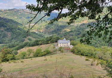
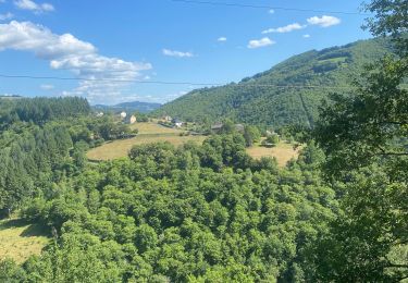
Trail Walking of 5.2 km to be discovered at Occitania, Aveyron, Saint-Hippolyte. This trail is proposed by Max15.
Positioning
Country:
France
Region :
Occitania
Department/Province :
Aveyron
Municipality :
Saint-Hippolyte
Location:
Unknown
Start:(Dec)
Start:(UTM)
466128 ; 4949175 (31T) N.
Comments
Trails nearby
Chateau et puech de Poujol
Walking
Medium
Saint-Hippolyte,
Occitania,
Aveyron,
France
6.6 km | 10.8 km-effort
3h 46min
Yes
Tour de couesque
Mountain bike
Campouriez,
Occitania,
Aveyron,
France
38 km | 57 km-effort
3h 5min
Yes
12_ginolhac_crestes_2024
Walking
Difficult
Entraygues-sur-Truyère,
Occitania,
Aveyron,
France
18.2 km | 27 km-effort
6h 14min
No
12_valon_ginolhac_2024
Walking
Very difficult
Lacroix-Barrez,
Occitania,
Aveyron,
France
21 km | 34 km-effort
7h 39min
No
2023-07-31_21h48m29_Cirkwi-La_retenue_de_Couesques
Walking
Very difficult
Saint-Hippolyte,
Occitania,
Aveyron,
France
13.7 km | 20 km-effort
4h 35min
Yes
étang de riol le mont
Trail
Very easy
Montsalvy,
Auvergne-Rhône-Alpes,
Cantal,
France
6.5 km | 9.9 km-effort
42min
No
entre bel air et le viala
Running
Difficult
Le Fel,
Occitania,
Aveyron,
France
38 km | 52 km-effort
3h 3min
No
camin d olt sud couesque depuis passerelle
Mountain bike
Difficult
Campouriez,
Occitania,
Aveyron,
France
57 km | 83 km-effort
3h 56min
Yes