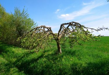
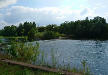
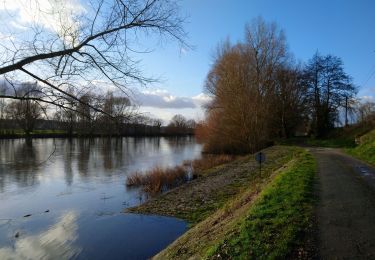
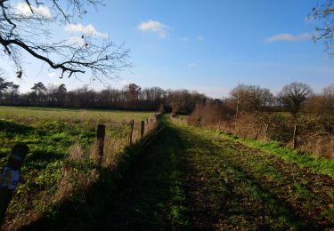
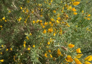
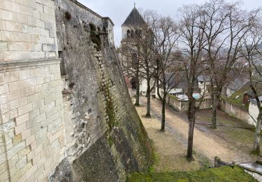
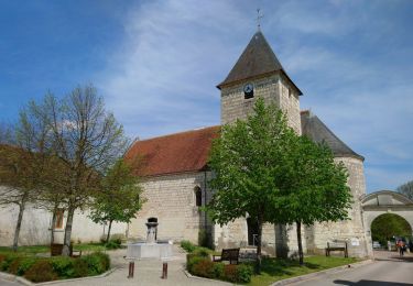
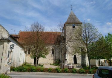
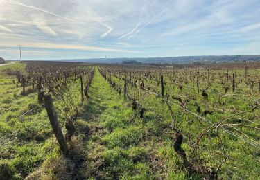
Trail Mountain bike Thésée - Thesee - Chateau de Fougères  - Photo

Thesee - Chateau de Fougères

© OpenStreetMap contributors
Length
Length
37 km
Max alt
Max alt
128 m
Uphill gradient
Uphill gradient
333 m
Km-Effort
Km-Effort  
41 km
Min alt
Min alt
74 m
Downhill gradient
Downhill gradient
332 m
Boucle
Boucle
Yes
Creation date :
2023-02-25 10:11:24.0
Updated on :
2023-02-25 14:47:37.056

(0 Reviews)

Mountain bike
Mountain bike
3h36
Difficulty : Medium
Hybrid bike
Hybrid bike
3h37
Difficulty : Very difficult

Scan this QR Code to open this trail in the SityTrail application

FREE GPS app for hiking

Logo SityTrail SityTrail

IGN / Geographical institutes

Download SityTrail from the App Store Download SityTrail from Google Play

Logo SityTrail SityTrail World

The world is yours!

Download SityTrail from the App Store Download SityTrail from Google Play Download SityTrail on Huawei AppGallery

About

Trail Mountain bike of 37 km to be discovered at Centre-Loire Valley, Loir-et-Cher, Thésée. This trail is proposed by Alain-luypaert.

Description

Aller par les petites routes et retour par les bois. Très boueux par endroits.

Elevation profile

Photos

Positioning

Country:
France
Region :
Centre-Loire Valley
Department/Province :
Loir-et-Cher
Municipality :
Thésée
Location:
Unknown
Start:(UTM)
372890 ; 5242482 (31T) N.

Trails nearby

Trail Walking Mareuil-sur-Cher - Mareuil-sur-Cher - les Sables GR41 et PR - 15.7km 240m 4h00 - 2022 04 22 - Photo
Walking
GUIDE
Orcal37

Walking

Easy
Mareuil-sur-Cher, Centre-Loire Valley, Loir-et-Cher, France
15.7 km | 18.9 km-effort
4h 0min
Yes
Trail Walking Monthou-sur-Cher - Monthou-sur-Cher - Bourré Thésée GR41 - 15.9km 190m 3h55 (30mn) - 2021 08 31 - Photo
Walking
GUIDE
Orcal37

Walking

Easy
Monthou-sur-Cher, Centre-Loire Valley, Loir-et-Cher, France
15.9 km | 18.5 km-effort
3h 55min
Yes
Trail Walking Thésée - Thésée - GR41 et GRP - 8km 100m 1h50 - 2021 01 17 - Photo
Walking
GUIDE
Orcal37

Walking

Easy
Thésée, Centre-Loire Valley, Loir-et-Cher, France
8 km | 9.4 km-effort
1h 50min
Yes
Trail Walking Pouillé - Pouillé - le Haut Guéret - boucles sur GR41 - 12.4km 200m 2h45 - 2021 01 10 - Photo
Walking
GUIDE
Orcal37

Walking

Easy
Pouillé, Centre-Loire Valley, Loir-et-Cher, France
12.4 km | 15.1 km-effort
2h 45min
Yes
Trail Walking Thésée - Étangs 2 - Photo
Walking
Alain-luypaert

Walking

Medium
Thésée, Centre-Loire Valley, Loir-et-Cher, France
7.6 km | 8.5 km-effort
2h 7min
Yes
Trail Mountain bike Thésée - Thésée - Saint Aignan - Photo
Mountain bike
Alain-luypaert

Mountain bike

Easy
Thésée, Centre-Loire Valley, Loir-et-Cher, France
21 km | 23 km-effort
2h 29min
Yes
Trail Walking Mareuil-sur-Cher - Mareuil-sur-Cher - 9.4km 160m 2h25 - 2018 04 01 - Photo
Walking
GUIDE
Orcal37

Walking

Easy
Mareuil-sur-Cher, Centre-Loire Valley, Loir-et-Cher, France
9.4 km | 11.4 km-effort
2h 25min
Yes
Trail Walking Mareuil-sur-Cher - Mareuil-sur-Cher - Gouffre - 13.7km 218m 2h16 - 2017 04 09 - Photo
Walking
GUIDE
Orcal37

Walking

Easy
Mareuil-sur-Cher, Centre-Loire Valley, Loir-et-Cher, France
13.7 km | 16.6 km-effort
2h 15min
Yes
Trail Walking Thésée - Autour des vignes - Photo
Walking
Alain-luypaert

Walking

Easy
Thésée, Centre-Loire Valley, Loir-et-Cher, France
6.6 km | 7.9 km-effort
2h 2min
Yes


Close
My subscriptions