Trail Walking Serdinya - Serdinya, découverte de la Segonie.  - Photo

Serdinya, découverte de la Segonie.

© OpenStreetMap contributors
Length
Length
11 km
Max alt
Max alt
988 m
Uphill gradient
Uphill gradient
541 m
Km-Effort
Km-Effort  
18.2 km
Min alt
Min alt
523 m
Downhill gradient
Downhill gradient
545 m
Boucle
Boucle
Yes
Creation date :
2023-02-19 08:12:40.405
Updated on :
2023-02-21 19:38:16.036

(0 Reviews)

Walking
Walking
4h45
Difficulty : Medium

Scan this QR Code to open this trail in the SityTrail application

FREE GPS app for hiking

Logo SityTrail SityTrail

IGN / Geographical institutes

Download SityTrail from the App Store Download SityTrail from Google Play

Logo SityTrail SityTrail World

The world is yours!

Download SityTrail from the App Store Download SityTrail from Google Play Download SityTrail on Huawei AppGallery

About

Trail Walking of 11 km to be discovered at Occitania, Pyrénées-Orientales, Serdinya. This trail is proposed by Santblasi.

Description

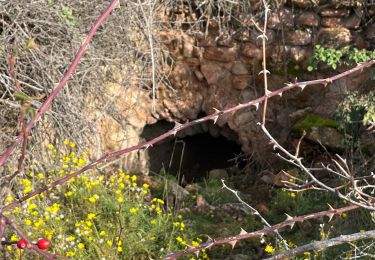
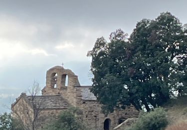
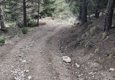
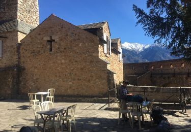
parking entrée de Serdinya. Prendre le sentier muletier dans le virage. Grimper jusqu'à l'ancienne tour de La Guardia. Continuer en face au cairn, suivre la trace jusqu'à Marinyans. Restes d'une chapelle.
grimper vers les Horts, hameau en ruine, maison de berger.
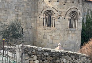
Retour et continuer jusqu'à Flassa, église.
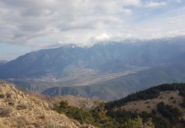
Nombreuses belles vues.
Descente sur la piste DFCI, continuer dans Joncet (lavoir, église, pont, ex moulin ). Serdinya  église.

Elevation profile

Positioning

Country:
France
Region :
Occitania
Department/Province :
Pyrénées-Orientales
Municipality :
Serdinya
Location:
Unknown
Start:(UTM)
444442 ; 4713186 (31T) N.

Trails nearby

Trail Walking Jujols - Jujols 1 - Photo
Walking
jcmartin

Walking

Medium
(1)
Jujols, Occitania, Pyrénées-Orientales, France
13.2 km | 22 km-effort
4h 2min
Yes
Trail sport Corneilla-de-Conflent - 20241219 Boucle depuis Villefranche-de-Conflent  - Photo
sport
ThonyM

sport

Very easy
Corneilla-de-Conflent, Occitania, Pyrénées-Orientales, France
18 km | 29 km-effort
Unknown
Yes
Trail sport Serdinya - 20241101 Flassa - Photo
sport
ThonyM

sport

Very easy
Serdinya, Occitania, Pyrénées-Orientales, France
13.6 km | 25 km-effort
Unknown
Yes
Trail Walking Fuilla - fuilla (66) - Photo
Walking
66Gribouille83

Walking

Difficult
Fuilla, Occitania, Pyrénées-Orientales, France
11.7 km | 17.8 km-effort
5h 57min
Yes
Trail Walking Corneilla-de-Conflent - Corneilla de Conflent - Photo
Walking
ombrabella

Walking

Easy
Corneilla-de-Conflent, Occitania, Pyrénées-Orientales, France
12.8 km | 17.7 km-effort
3h 27min
Yes
Trail Walking Jujols - jujols marbre rouge  - Photo
Walking
66Gribouille83

Walking

Very difficult
Jujols, Occitania, Pyrénées-Orientales, France
16.5 km | 28 km-effort
9h 13min
Yes
Trail Walking Sahorre - Thorrent - Py et le Rec de Thorrent - Photo
Walking
Jean-marie Compta

Walking

Medium
Sahorre, Occitania, Pyrénées-Orientales, France
18.5 km | 30 km-effort
5h 33min
Yes
Trail Walking Fuilla - Ville franche / fort Liberia /Chapelle St André de Bell lloc / St esteve de calmeilles - Photo
Walking
robertperello

Walking

Medium
Fuilla, Occitania, Pyrénées-Orientales, France
11.5 km | 21 km-effort
3h 39min
Yes
Trail Walking Serdinya - flassa. taratera 850 positif 13km 4h30 - Photo
Walking
Erius

Walking

Very difficult
Serdinya, Occitania, Pyrénées-Orientales, France
13.8 km | 25 km-effort
4h 21min
Yes


Close
My subscriptions