


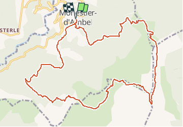

10.6 km | 24 km-effort


User


FREE GPS app for hiking
 SityTrail
IGN / Geographical institutes
SityTrail World
The world is yours!
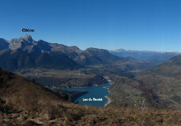
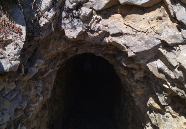
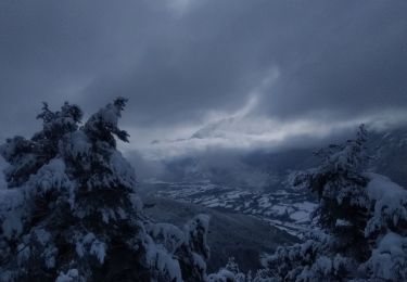
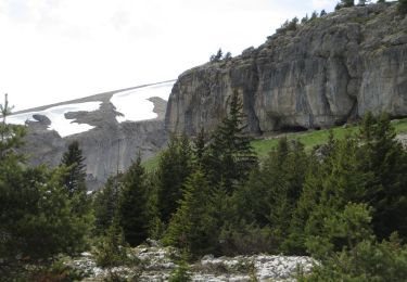
Trail Walking of 14.3 km to be discovered at Auvergne-Rhône-Alpes, Isère, Monestier-d'Ambel. This trail is proposed by GAPIAN43.
http://data.over-blog-kiwi.com/1/37/27/34/20150602/ob_d8e736_la-grande-vire-du-pierroux.pdf
Les photos :
https://picasaweb.google.com/110539922854627498228/20150523PasDeLarchePierroux?feat=directlink
Walking

Walking
Walking
Touring skiing

Walking

Walking

Walking

Walking
Walking