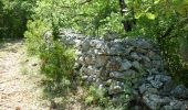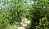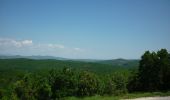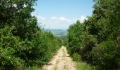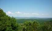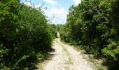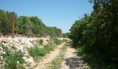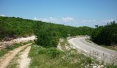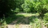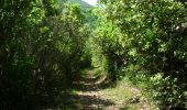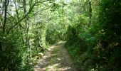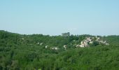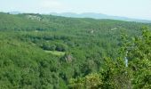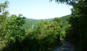

Tharaux

Eddy Camerman
User

Length
9.4 km

Max alt
341 m

Uphill gradient
256 m

Km-Effort
12.9 km

Min alt
113 m

Downhill gradient
262 m
Boucle
Yes
Creation date :
2023-02-19 15:04:15.288
Updated on :
2023-02-19 15:22:32.897
2h55
Difficulty : Difficult

FREE GPS app for hiking
About
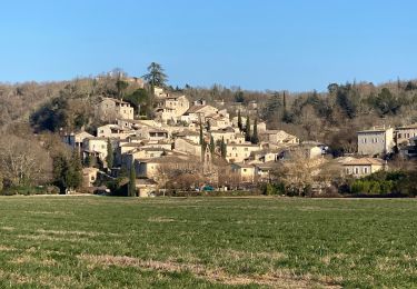
Trail Walking of 9.4 km to be discovered at Occitania, Gard, Tharaux. This trail is proposed by Eddy Camerman.
Description
De track van deze route is opgeschoond op 05-08-2022. Geen idee of ze nog actueel is.
Mooie wandeling die samengesteld is aan de hand van de wandelkaart "Cévennes et Vallée de la Cèze".
Positioning
Country:
France
Region :
Occitania
Department/Province :
Gard
Municipality :
Tharaux
Location:
Unknown
Start:(Dec)
Start:(UTM)
604560 ; 4899513 (31T) N.
Comments
Trails nearby
château d allègre aiguieres


Walking
Medium
(1)
Allègre-les-Fumades,
Occitania,
Gard,
France

16.9 km | 25 km-effort
6h 10min
Yes
Château de Ferreyrolle


Walking
Medium
Saint-Privat-de-Champclos,
Occitania,
Gard,
France

16.9 km | 24 km-effort
6h 8min
Yes
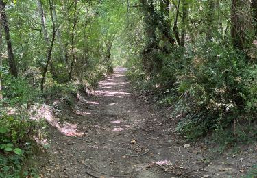
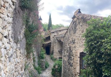
ROCHEGUDE - GROTTE DES CAMISARDS


Walking
Medium
Rochegude,
Occitania,
Gard,
France

5 km | 7.6 km-effort
1h 43min
Yes

231203_Rivières


Walking
Difficult
Rivières,
Occitania,
Gard,
France

15.4 km | 18.9 km-effort
5h 43min
Yes
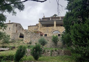
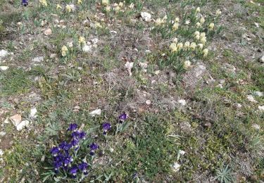
mejannes le clap


Walking
Medium
Méjannes-le-Clap,
Occitania,
Gard,
France

14.4 km | 19.3 km-effort
5h 19min
Yes
Rochegude 30


Walking
Difficult
Rochegude,
Occitania,
Gard,
France

15.6 km | 21 km-effort
5h 42min
Yes
Mejannes le clap par Rocher de l'Aigle


Walking
Difficult
Méjannes-le-Clap,
Occitania,
Gard,
France

15.3 km | 21 km-effort
5h 14min
Yes


 SityTrail


