

#230220 - Terlanen, Schaatbroekbos, GR579

Randos Ouvertes
User

Length
7.2 km

Max alt
95 m

Uphill gradient
93 m

Km-Effort
8.4 km

Min alt
35 m

Downhill gradient
88 m
Boucle
Yes
Creation date :
2023-02-19 10:44:35.759
Updated on :
2024-04-18 10:06:11.39
1h55
Difficulty : Medium

FREE GPS app for hiking
About
Trail Walking of 7.2 km to be discovered at Flanders, Flemish Brabant, Overijse. This trail is proposed by Randos Ouvertes.
Description
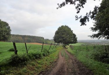
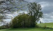
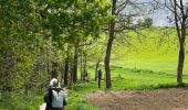
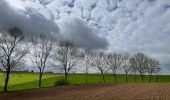
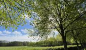
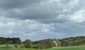
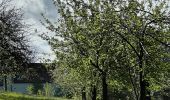
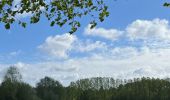
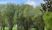
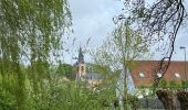
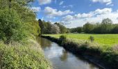
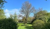
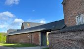
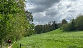
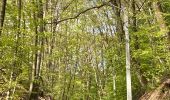
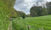
Vallée de la Lasne***, ferme de Bilande*, Schaatbroekbos avec son chemin très encaissé qui grimpe raide jusqu'à un grand plateau**** avec vue à 360° englobant les lieux-dits de Vossenheide, Kerselaar et Borredelle.
Crédits photos : Corinne van Aubel et Sophie Vermote.
Positioning
Country:
Belgium
Region :
Flanders
Department/Province :
Flemish Brabant
Municipality :
Overijse
Location:
Unknown
Start:(Dec)
Start:(UTM)
613049 ; 5625569 (31U) N.
Comments
Trails nearby
GG-Bw-01_Archennes - Wavre


Walking
Very difficult
(7)
Grez-Doiceau,
Wallonia,
Walloon Brabant,
Belgium

23 km | 28 km-effort
5h 59min
No
RB-BW-06-raccourci 2 - De rivières en collines, au nord de Wavre


Walking
Easy
(5)
Grez-Doiceau,
Wallonia,
Walloon Brabant,
Belgium

7 km | 8.4 km-effort
1h 49min
Yes
RB-BW-06-raccourci 1 - De rivières en collines, au nord de Wavre


Walking
Easy
(10)
Grez-Doiceau,
Wallonia,
Walloon Brabant,
Belgium

14.6 km | 17.1 km-effort
3h 52min
Yes
RB-BW-06 - De rivières en collines, au nord de Wavre


Walking
Easy
(9)
Grez-Doiceau,
Wallonia,
Walloon Brabant,
Belgium

24 km | 28 km-effort
5h 29min
Yes
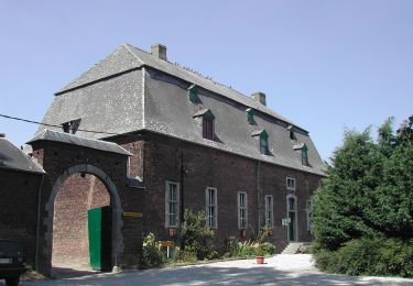
GG2-Bw-21_Pécrot-Genval_2021-11-04


Walking
Very difficult
(3)
Grez-Doiceau,
Wallonia,
Walloon Brabant,
Belgium

26 km | 31 km-effort
7h 7min
No
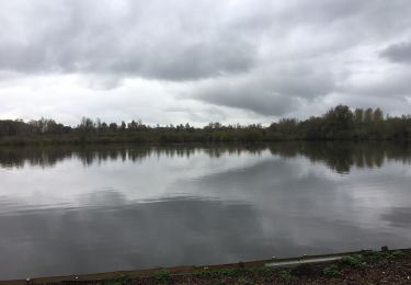
#221104 - Florival > Pécrot, GRP127


Walking
Medium
(2)
Grez-Doiceau,
Wallonia,
Walloon Brabant,
Belgium

7 km | 8.4 km-effort
1h 55min
Yes
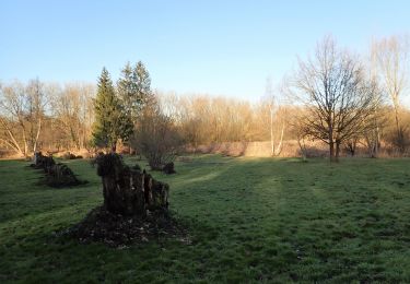
#210224 - Rés. nat. Florival, étang de Pécrot, Sept Bonniers


Walking
Medium
(3)
Grez-Doiceau,
Wallonia,
Walloon Brabant,
Belgium

7.1 km | 8.4 km-effort
1h 54min
Yes
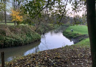
RB - BW - 6 Gastuche Precrot


Walking
Easy
(2)
Grez-Doiceau,
Wallonia,
Walloon Brabant,
Belgium

14.5 km | 17.2 km-effort
2h 58min
Yes
#191230a - Ottenburg, Rondebos & St Agatha-Rodebos


Walking
Medium
(1)
Huldenberg,
Flanders,
Flemish Brabant,
Belgium

8.1 km | 10.3 km-effort
2h 13min
Yes


 SityTrail





Jolie petite balade à travers les champs, forêts et villages