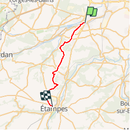


19.3 km | 23 km-effort


User


FREE GPS app for hiking
 SityTrail
IGN / Geographical institutes
SityTrail World
The world is yours!
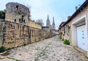
Trail Walking of 25 km to be discovered at Ile-de-France, Essonne, Arpajon. This trail is proposed by mmx007.
De la Porte d'Etampes à d'Arpajon à Etampes Gare.
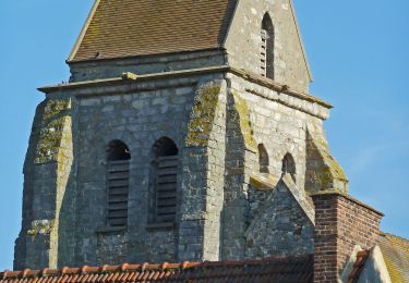
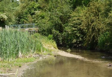
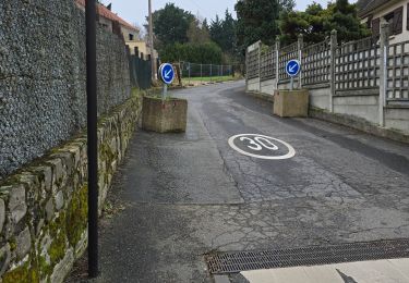
On suit le GR655 jusqu'à St Sulpice de Favières (belle église). Ensuite, on laisse les GRs, et on coupe par la Forêt de La Garenne pour rejoindre les PRs qui permettent de contourner Etréchy à travers les champs de céréales et betteraves. On retrouve le GR655/GR11 après Etréchy pour arriver à Etampes par la Tour Ginette, juste au dessus de la gare. Ce trajet est plus court qu'en suivant le GR655E qui passe par Chamarande. Les chemins sont larges et plats (sauf en forêt).
Suggestion transports : aller DM151 Porte d'Orléans, retour RER C ou train intercité en gare d'Arpajon.
(note : des sentiers ont pu être modifiés depuis mon passage, rester prudent)
Walking
Walking

Walking

On foot

Walking
Walking
Walking