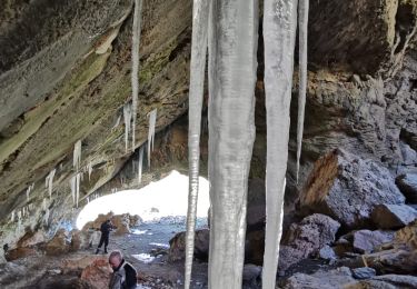
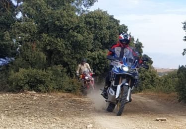
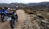
Trail Moto cross Villa de Otura - Loja - Jatar - Camino de las cabras - Photo

Loja - Jatar - Camino de las cabras

© OpenStreetMap contributors
Length
Length
227 km
Max alt
Max alt
1501 m
Uphill gradient
Uphill gradient
4802 m
Km-Effort
Km-Effort  
293 km
Min alt
Min alt
11 m
Downhill gradient
Downhill gradient
5485 m
Boucle
Boucle
No
Creation date :
2023-02-18 09:18:04.024
Updated on :
2023-02-19 15:38:34.309

(0 Reviews)

Moto cross
Moto cross
5h50
Difficulty : Medium

Scan this QR Code to open this trail in the SityTrail application

FREE GPS app for hiking

Logo SityTrail SityTrail
IGN / Geographical institutes

Download SityTrail from the App Store Download SityTrail from Google Play

Logo SityTrail SityTrail World
The world is yours!

Download SityTrail from the App Store Download SityTrail from Google Play Download SityTrail on Huawei AppGallery

About

Trail Moto cross of 227 km to be discovered at Andalusia, Granada, Villa de Otura. This trail is proposed by jpipacific.

Description

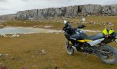
Honda Africa Twin CRF 1000 L DCT

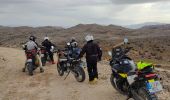
Ballade sans grande difficulté.
Toutefois quelques passages délicats juste avant d'arriver à Jatar.
Chemins sympa pour arriver à Loja.
Paysages de la Sierra de Loja époustouflants. Ne pas oublier de refermer la barrière pour le bétail.
Bon restaurant à Jatar "Los Angeles"
La route des cabras est toujours une splendeur en revenant sur La Herradura.

Elevation profile

Photos

Positioning

Country:
Spain
Region :
Andalusia
Department/Province :
Granada
Municipality :
Villa de Otura
Location:
Unknown
Start:(UTM)
442334 ; 4104591 (30S) N.

Trails nearby

Trail Moto cross Villa de Otura - Sierra de Loja - Photo
Moto cross
jpipacific

Moto cross

Medium
Villa de Otura, Andalusia, Granada, Spain
227 km | 293 km-effort
6h 22min
No
Trail Moto cross Villa de Otura - Granada- Jete- La Herradura - Photo
Moto cross
jpipacific

Moto cross

Easy
Villa de Otura, Andalusia, Granada, Spain
128 km | 167 km-effort
4h 12min
No


Close
My subscriptions