


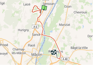

33 km | 42 km-effort


User


FREE GPS app for hiking
 SityTrail
IGN / Geographical institutes
SityTrail World
The world is yours!
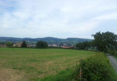
Trail Walking of 20 km to be discovered at Bourgogne-Franche-Comté, Saône-et-Loire, Saint-Martin-Belle-Roche. This trail is proposed by robertdurand.
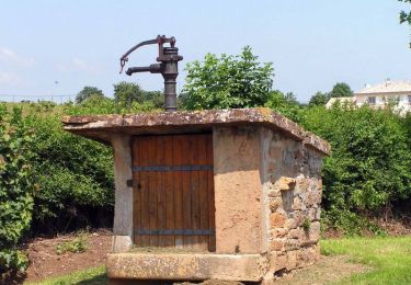
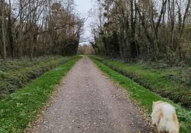
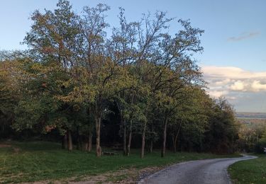
Promenade avé peu de routes carrossables. Passage au travers des bois. Faire attention aux loups, il y en a peut-être. On ne saurait être trop prudents.

Mountain bike

Walking

Walking

Walking
Walking
Walking
Walking

Walking
Mountain bike