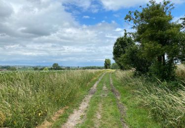
8.7 km | 10.8 km-effort
Kemmel
© OpenStreetMap contributors
Walking
2h34
Difficulty : Unknown
Length
10.2 km
Max alt
161 m
Uphill gradient
223 m
Km-Effort
13.2 km
Min alt
37 m
Downhill gradient
223 m
Boucle
No
Creation date :
2023-02-18 13:11:28.0
Updated on :
2023-02-18 15:46:18.974
2h34
Difficulty : Unknown
FREE GPS app for hiking
About
Trail Walking of 10.2 km to be discovered at Flanders, West Flanders, Heuvelland. This trail is proposed by Kirsten Van Grimbergen.
Positioning
Country:
Belgium
Region :
Flanders
Department/Province :
West Flanders
Municipality :
Heuvelland
Location:
Kemmel
Start:(Dec)
Start:(UTM)
487843 ; 5625779 (31U) N.
Comments
Trails nearby
Kraters en Mijnen
On foot
Easy
Heuvelland,
Flanders,
West Flanders,
Belgium
6.7 km | 7.9 km-effort
1h 47min
Yes
Geuzen wandelroute
On foot
Easy
Heuvelland,
Flanders,
West Flanders,
Belgium
9.7 km | 11.4 km-effort
2h 35min
Yes
Kemmelberg wandelroute
On foot
Easy
Heuvelland,
Flanders,
West Flanders,
Belgium
8.9 km | 11.4 km-effort
2h 36min
Yes
Dranouter 12,3 km
Walking
Easy
Heuvelland,
Flanders,
West Flanders,
Belgium
12.4 km | 14.5 km-effort
3h 32min
Yes
Kemmel 16,8 km
Walking
Medium
(1)
Heuvelland,
Flanders,
West Flanders,
Belgium
16.8 km | 20 km-effort
4h 37min
Yes
Zevekotepad Reningelst
On foot
Easy
Poperinge,
Flanders,
West Flanders,
Belgium
6.9 km | 7.9 km-effort
1h 47min
Yes
Loker 18,2 km
Walking
Medium
Heuvelland,
Flanders,
West Flanders,
Belgium
18.3 km | 23 km-effort
5h 14min
Yes
Nieuwekerke Bailleul 17,5 km
Walking
Medium
Heuvelland,
Flanders,
West Flanders,
Belgium
18.7 km | 21 km-effort
4h 53min
Yes