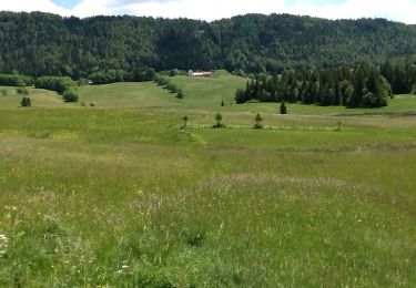
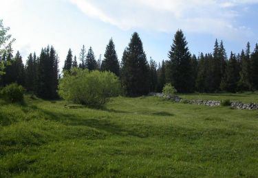
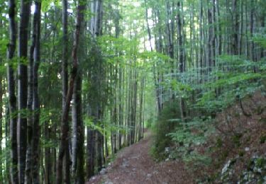
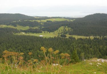
Trail Snowshoes Chapelle-des-Bois - SityTrail - Jura J5 gps - Photo
 danielf
danielf

User

© OpenStreetMap contributors
Length
Length
12.6 km
Max alt
Max alt
1328 m
Uphill gradient
Uphill gradient
356 m
Km-Effort
Km-Effort  
17.4 km
Min alt
Min alt
1094 m
Downhill gradient
Downhill gradient
356 m
Boucle
Boucle
Yes
Creation date :
2023-02-17 12:17:18.993
Updated on :
2023-02-17 14:01:22.803

(0 Reviews)

Snowshoes
Snowshoes
5h20
Difficulty : Difficult

Scan this QR Code to open this trail in the SityTrail application

FREE GPS app for hiking

Logo SityTrail SityTrail

IGN / Geographical institutes

Download SityTrail from the App Store Download SityTrail from Google Play

Logo SityTrail SityTrail World

The world is yours!

Download SityTrail from the App Store Download SityTrail from Google Play Download SityTrail on Huawei AppGallery

About

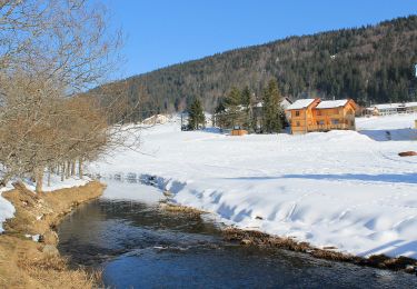
Trail Snowshoes of 12.6 km to be discovered at Bourgogne-Franche-Comté, Doubs, Chapelle-des-Bois. This trail is proposed by danielf.

Description

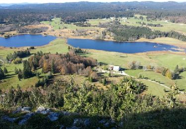
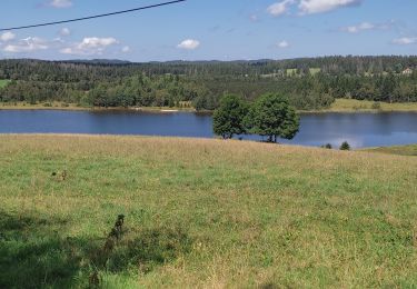
Randonnée à la découverte du Lac de Bellefontaine, la Roche Bernard et le Chalet Gaillard.
Départ du refuge "Chez l'Aimé" (places de parking limitées).
Certaines portions en "hors-piste" peuvent être difficiles.
Pass balade nécessaire.
Cet itinéraire vous est offert gracieusement par info randonnée - https://www.autre-chemin.be

Elevation profile

Positioning

Country:
France
Region :
Bourgogne-Franche-Comté
Department/Province :
Doubs
Municipality :
Chapelle-des-Bois
Location:
Unknown
Start:(UTM)
278094 ; 5162215 (32T) N.

Trails nearby

Trail Walking Chapelle-des-Bois - roche Bernard - Photo
Walking
Bogapuki

Walking

Medium
(1)
Chapelle-des-Bois, Bourgogne-Franche-Comté, Doubs, France
15 km | 21 km-effort
4h 33min
Yes
Trail Walking Bois-d'Amont - Roche Bernard - Bois d'Amont  - Photo
Walking
tracegps

Walking

Difficult
(1)
Bois-d'Amont, Bourgogne-Franche-Comté, Jura, France
15.1 km | 21 km-effort
5h 0min
Yes
Trail Walking Bois-d'Amont - La Roche du Creux - Bois d'Amont - Photo
Walking
tracegps

Walking

Medium
(1)
Bois-d'Amont, Bourgogne-Franche-Comté, Jura, France
8.7 km | 12.1 km-effort
3h 0min
Yes
Trail Walking Bois-d'Amont - Le Mont Sâla - Bois d'Amont - Photo
Walking
tracegps

Walking

Very difficult
(1)
Bois-d'Amont, Bourgogne-Franche-Comté, Jura, France
14.3 km | 22 km-effort
4h 30min
Yes
Trail Walking Bois-d'Amont - Le Livre d'Or du Risoux - Bois d'Amont - Photo
Walking
tracegps

Walking

Very difficult
(1)
Bois-d'Amont, Bourgogne-Franche-Comté, Jura, France
17.7 km | 24 km-effort
6h 40min
Yes
Trail Walking Chapelle-des-Bois - ROCHE CHAMPION - Photo
Walking
ehresmann

Walking

Easy
(2)
Chapelle-des-Bois, Bourgogne-Franche-Comté, Doubs, France
8.6 km | 13.6 km-effort
1h 50min
Yes
Trail On foot Bois-d'Amont - La Chaux Sèche - Photo
On foot
GUIDE+

On foot

Easy
Bois-d'Amont, Bourgogne-Franche-Comté, Jura, France
10.1 km | 13.9 km-effort
3h 9min
Yes
Trail Walking Bellefontaine - Lac de Bellefontaine er lac des Mortes . - Photo
Walking
nana1643

Walking

Easy
Bellefontaine, Bourgogne-Franche-Comté, Jura, France
9.5 km | 11.5 km-effort
2h 33min
Yes
Trail Walking Chapelle-des-Bois - Roche Champion et Bernard 11.7.24 - Photo
Walking
GUIDE
fredetpascale

Walking

Medium
Chapelle-des-Bois, Bourgogne-Franche-Comté, Doubs, France
11.5 km | 16.6 km-effort
3h 45min
Yes


Close
My subscriptions