


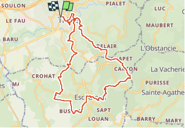

11.4 km | 18.3 km-effort


User GUIDE


FREE GPS app for hiking
 SityTrail
IGN / Geographical institutes
SityTrail World
The world is yours!
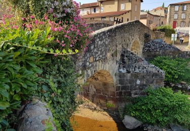
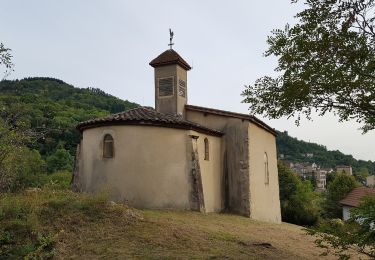
Trail Walking of 21 km to be discovered at Auvergne-Rhône-Alpes, Puy-de-Dôme, Thiers. This trail is proposed by jagarnier.
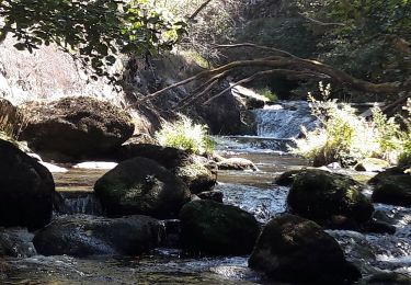
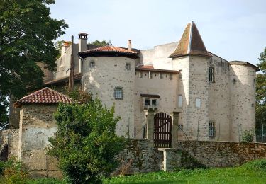
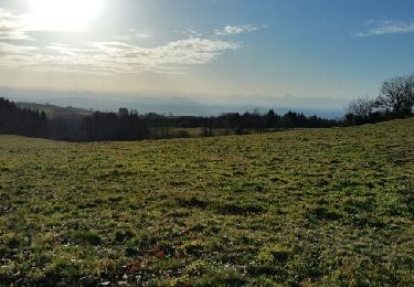
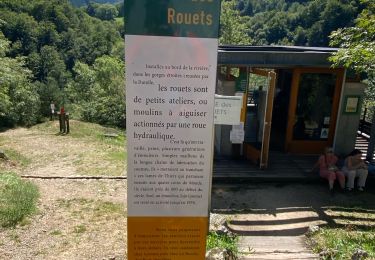
Thiers, depuis 6 siècles, a été marqué par ses couteliers, le GMIT (Groupe des Marcheurs Indépendants de Thiers) leur dédie une randonnée avec un parcours recentré sur la région thiernoise, la Vallée des rouets, la Durolle, la cité médiévale, les paysages du Livradois Forez et du val de DORE, ...

Walking
Walking
Walking

On foot
On foot
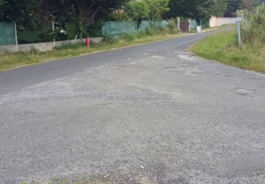
On foot
On foot
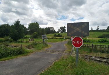
On foot
Walking