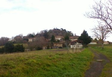
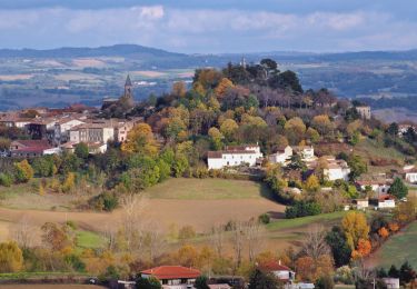
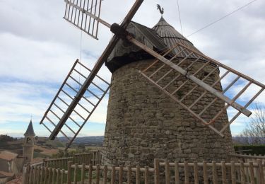
Trail Walking Lautrec - Les crêtes et tumulus autour de Lautrec - Photo

Les crêtes et tumulus autour de Lautrec

© OpenStreetMap contributors
Length
Length
17 km
Max alt
Max alt
355 m
Uphill gradient
Uphill gradient
349 m
Km-Effort
Km-Effort  
22 km
Min alt
Min alt
212 m
Downhill gradient
Downhill gradient
349 m
Boucle
Boucle
Yes
Creation date :
2023-02-14 21:24:20.591
Updated on :
2023-02-14 21:25:18.216

(0 Reviews)

Walking
Walking
4h54
Difficulty : Very difficult

Scan this QR Code to open this trail in the SityTrail application

FREE GPS app for hiking

Logo SityTrail SityTrail

IGN / Geographical institutes

Download SityTrail from the App Store Download SityTrail from Google Play

Logo SityTrail SityTrail World

The world is yours!

Download SityTrail from the App Store Download SityTrail from Google Play Download SityTrail on Huawei AppGallery

About

Trail Walking of 17 km to be discovered at Occitania, Tarn, Lautrec. This trail is proposed by philou6351.

Elevation profile

Points of interest

Point of interest Lautrec - Parking Aquaval - Photo
philou6351
Point of interest Lautrec - Croisement D83 - Photo
philou6351
Point of interest Lautrec - le Péségnou - Photo
philou6351
LAUTREC 
Point of interest Lautrec - Virage à gauche - Photo
philou6351
Point of interest Lautrec - Ligne haute tension - Photo
philou6351
Point of interest Lautrec - Cabrilles - Photo
philou6351
LAUTREC 
Point of interest Lautrec - Grayssac - Photo
philou6351
LAUTREC 
Point of interest Lautrec - Bifurcation après Lauzeral - Photo
philou6351
Point of interest Lautrec - L'Auroulié - Photo
philou6351
LAUTREC 
Point of interest Lautrec - Jonction Voie Verte - Photo
philou6351
Point of interest Lautrec - Salvepoule - Photo
philou6351
LAUTREC 
Point of interest Lautrec - Ligne haute tension - Photo
philou6351
Point of interest Lautrec - Sortie de la Voie Verte - Photo
philou6351
Point of interest Lautrec - Lavoir - Photo
philou6351
LAUTREC 
Point of interest Lautrec - Rue du Barry - Photo
philou6351
LAUTREC 
Point of interest Lautrec - Parking Aquaval - Photo
philou6351

Positioning

Country:
France
Region :
Occitania
Department/Province :
Tarn
Municipality :
Lautrec
Location:
Unknown
Start:(UTM)
429961 ; 4839292 (31T) N.

Trails nearby

Trail Walking Lautrec - LAUTREC - Photo
Walking
sebgnac09

Walking

Very easy
Lautrec, Occitania, Tarn, France
5.7 km | 8.2 km-effort
1h 40min
Yes
Trail Walking Lautrec - Lautrec boucles ails et 2 chateaux - Photo
Walking
tercla

Walking

Medium
Lautrec, Occitania, Tarn, France
21 km | 28 km-effort
6h 14min
Yes
Trail Walking Lautrec - Lautrec - Photo
Walking
jpp2caunes

Walking

Difficult
Lautrec, Occitania, Tarn, France
15 km | 19.7 km-effort
4h 12min
Yes
Trail Walking Lautrec - le chemin de l'ail  - Photo
Walking
CANON2

Walking

Easy
Lautrec, Occitania, Tarn, France
7.9 km | 10.6 km-effort
2h 2min
Yes
Trail Walking Lautrec - 211102 Rando ARAT Lautrec - Photo
Walking
VIRGULIN

Walking

Medium
Lautrec, Occitania, Tarn, France
25 km | 32 km-effort
6h 25min
Yes
Trail Electric bike Lautrec - La lautrecoise  - Photo
Electric bike
ktmetarn

Electric bike

Medium
Lautrec, Occitania, Tarn, France
31 km | 39 km-effort
2h 13min
Yes
Trail Motorbike Lautrec - montagne noire - Photo
Motorbike
ktmetarn

Motorbike

Medium
Lautrec, Occitania, Tarn, France
151 km | 200 km-effort
7h 14min
No
Trail Walking Lautrec - 81_Lautrec - Photo
Walking
jab31

Walking

Medium
Lautrec, Occitania, Tarn, France
14.1 km | 17.5 km-effort
3h 12min
Yes
Trail Walking Lautrec - Circuit du tumulus - Photo
Walking
CANON2

Walking

Easy
Lautrec, Occitania, Tarn, France
13.4 km | 16.5 km-effort
3h 40min
Yes


Close
My subscriptions