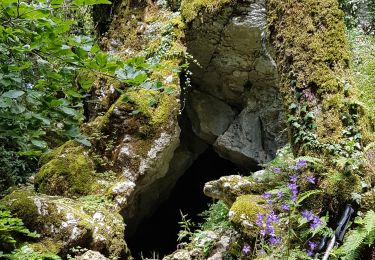
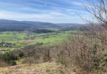
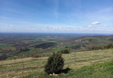
7 km | 11.3 km-effort
Chevignat Mont Verjon
Jackoyo
User
Length
13.4 km
Max alt
533 m
Uphill gradient
474 m
Km-Effort
19.7 km
Min alt
258 m
Downhill gradient
474 m
Boucle
Yes
Creation date :
2023-02-14 09:24:34.868
Updated on :
2023-02-14 12:34:40.554
3h09
Difficulty : Easy
FREE GPS app for hiking
About
Trail Walking of 13.4 km to be discovered at Auvergne-Rhône-Alpes, Ain, Courmangoux. This trail is proposed by Jackoyo .
Positioning
Country:
France
Region :
Auvergne-Rhône-Alpes
Department/Province :
Ain
Municipality :
Courmangoux
Location:
Unknown
Start:(Dec)
Start:(UTM)
683377 ; 5133662 (31T) N.
Comments
Trails nearby
notre-dame de la roche
Walking
Easy
Salavre,
Auvergne-Rhône-Alpes,
Ain,
France
4.9 km | 7.5 km-effort
1h 46min
Yes
Reverront
sport
Very easy
Val-Revermont,
Auvergne-Rhône-Alpes,
Ain,
France
12.9 km | 18.3 km-effort
Unknown
Yes
Cuisiat, Pouillat, Nivigne, Rosy, col des justices
Walking
Difficult
Val-Revermont,
Auvergne-Rhône-Alpes,
Ain,
France
21 km | 34 km-effort
6h 39min
Yes
Nivigne Cuisiat
On foot
Medium
Val-Revermont,
Auvergne-Rhône-Alpes,
Ain,
France
15.2 km | 26 km-effort
5h 48min
Yes
Monfleur-Bourcia-Nivigne-H
Walking
Medium
Montfleur,
Bourgogne-Franche-Comté,
Jura,
France
18 km | 26 km-effort
5h 28min
Yes
Boucle à pont des vents
Walking
Medium
Montfleur,
Bourgogne-Franche-Comté,
Jura,
France
13.1 km | 19.2 km-effort
4h 37min
Yes
cuisiat la grange du pin
Walking
Very easy
Val-Revermont,
Auvergne-Rhône-Alpes,
Ain,
France
7.6 km | 9.4 km-effort
2h 9min
Yes
départ de cuisuiat ensuite la chapelle de montfort
Walking
Medium
Val-Revermont,
Auvergne-Rhône-Alpes,
Ain,
France
15.4 km | 24 km-effort
5h 27min
Yes