


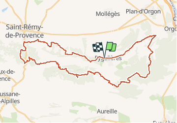

16.3 km | 21 km-effort


User


FREE GPS app for hiking
 SityTrail
IGN / Geographical institutes
SityTrail World
The world is yours!
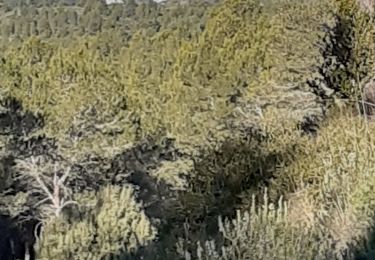
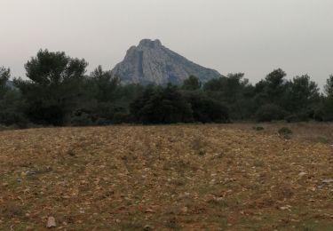
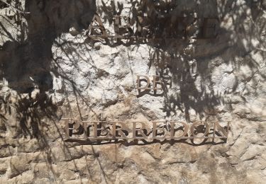
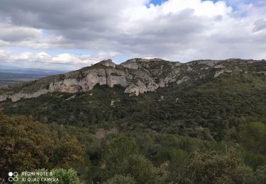
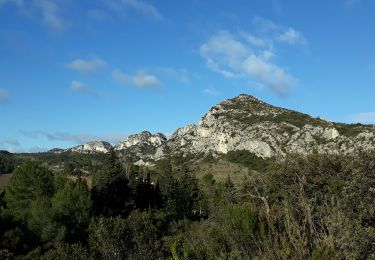
Trail Mountain bike of 50 km to be discovered at Provence-Alpes-Côte d'Azur, Bouches-du-Rhône, Eygalières. This trail is proposed by fireman84.
difficile par la distance.
depart a eygalieres pour se mettre en jambes ,on peut aussi couper le circuit en 2 au niveau de la route de mouries
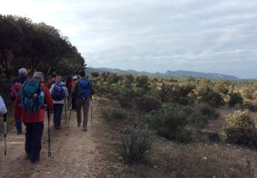
Walking
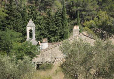
Walking
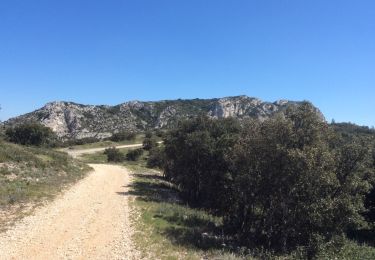
Walking

Walking
Walking
Walking
Walking
Walking
Walking