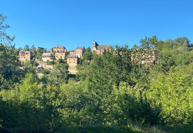
13.8 km | 18.8 km-effort
2
Andy Doran
User
Length
37 km
Max alt
673 m
Uphill gradient
846 m
Km-Effort
47 km
Min alt
270 m
Downhill gradient
647 m
Boucle
No
Creation date :
2022-11-14 11:28:45.285
Updated on :
2023-02-09 19:13:07.793
3h09
Difficulty : Medium
FREE GPS app for hiking
About
Trail Mountain bike of 37 km to be discovered at Occitania, Aveyron, Sénergues. This trail is proposed by Andy Doran.
Description
ghxxv
Positioning
Country:
France
Region :
Occitania
Department/Province :
Aveyron
Municipality :
Sénergues
Location:
Unknown
Start:(Dec)
Start:(UTM)
458996 ; 4942862 (31T) N.
Comments
Trails nearby
Autour du Clocher
On foot
Easy
Sénergues,
Occitania,
Aveyron,
France
6.3 km | 9.1 km-effort
2h 3min
Yes
Compostelle jour 11
Walking
Medium
Sénergues,
Occitania,
Aveyron,
France
9.8 km | 12.6 km-effort
3h 4min
No
Sénergues- Conques
Walking
Easy
(2)
Sénergues,
Occitania,
Aveyron,
France
10.8 km | 13.7 km-effort
3h 13min
No
ferme de Bessoule-Co'ques
Walking
Very difficult
Golinhac,
Occitania,
Aveyron,
France
17.4 km | 23 km-effort
6h 44min
No
Le fel saint cyprien
sport
Very easy
Le Fel,
Occitania,
Aveyron,
France
104 km | 130 km-effort
Unknown
No
Espeyrac - Noailhac - Chemin de St-Jacques de Compostelle
Walking
Difficult
(1)
Espeyrac,
Occitania,
Aveyron,
France
19.5 km | 29 km-effort
4h 0min
No
12_espeyrac_entraygues_2024
Walking
Difficult
Espeyrac,
Occitania,
Aveyron,
France
20 km | 27 km-effort
6h 14min
No
Espeyrac Conque Montredon
Walking
Difficult
Espeyrac,
Occitania,
Aveyron,
France
47 km | 66 km-effort
10h 37min
No