6.9 km | 9 km-effort
Espin repérage
cecirealain
User
Length
10.7 km
Max alt
176 m
Uphill gradient
213 m
Km-Effort
13.6 km
Min alt
95 m
Downhill gradient
212 m
Boucle
Yes
Creation date :
2023-02-09 12:46:51.569
Updated on :
2023-02-10 09:12:30.019
2h35
Difficulty : Difficult
FREE GPS app for hiking
About
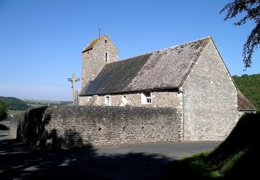
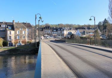
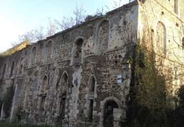
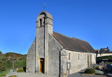
Trail Walking of 10.7 km to be discovered at Normandy, Calvados, Espins. This trail is proposed by cecirealain.
Positioning
Country:
France
Region :
Normandy
Department/Province :
Calvados
Municipality :
Espins
Location:
Unknown
Start:(Dec)
Start:(UTM)
689294 ; 5430773 (30U) N.
Comments
Trails nearby
La Chapelle Bonne Nouvelle
On foot
Easy
Esson,
Normandy,
Calvados,
France
9.5 km | 13.3 km-effort
3h 1min
Yes
GRP Tour de la Suisse Normande
On foot
Difficult
Esson,
Normandy,
Calvados,
France
25 km | 35 km-effort
7h 58min
No
GC745R5 = https://coord.info/GC745R5
Geocaching
Easy
Barbery,
Normandy,
Calvados,
France
6.5 km | 7.5 km-effort
2h 40min
Yes
Voie verte suisse normande
Road bike
Easy
Montillières-sur-Orne,
Normandy,
Calvados,
France
47 km | 53 km-effort
4h 14min
Yes
Moulin de Pray et Pont de Brie
On foot
Easy
Grimbosq,
Normandy,
Calvados,
France
4.3 km | 4.9 km-effort
1h 6min
No
De Placy à la Motte
On foot
Easy
Cesny-les-Sources,
Normandy,
Calvados,
France
7.1 km | 8.4 km-effort
1h 54min
Yes
La vallée de l'Orne - Thury Harcourt
Walking
Difficult
(1)
Montillières-sur-Orne,
Normandy,
Calvados,
France
17.1 km | 23 km-effort
4h 15min
Yes