


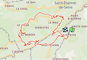

18.5 km | 29 km-effort

User GUIDE


FREE GPS app for hiking
 SityTrail
IGN / Geographical institutes
SityTrail World
The world is yours!
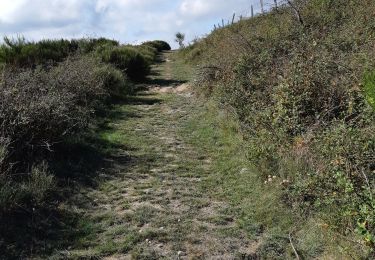
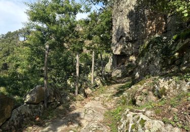
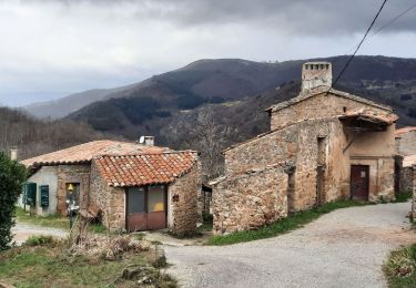
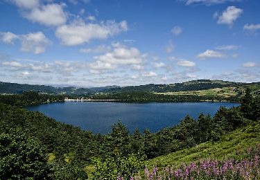
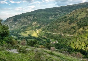
Trail Walking of 14 km to be discovered at Auvergne-Rhône-Alpes, Ardèche, Creysseilles. This trail is proposed by thonyc.
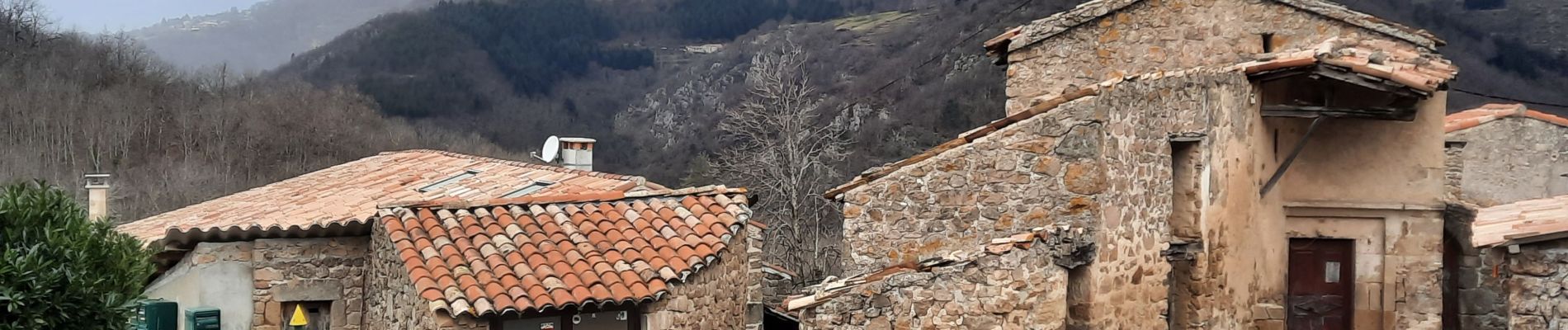
Le charme du hameau, de beaux panoramas, des sentiers variés très agréables.
Intérêt géologique avec le volcan de Chirouse, des grés et des orgues basaltiques.


Walking

Walking
Walking
Walking

sport
Walking
Walking
Walking

Walking