


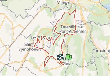


11.6 km | 14.5 km-effort


User


FREE GPS app for hiking
 SityTrail
IGN / Geographical institutes
SityTrail World
The world is yours!
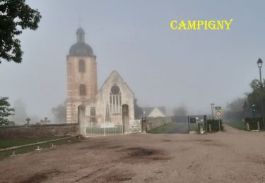
Trail Walking of 21 km to be discovered at Normandy, Eure, Selles. This trail is proposed by phiber76.
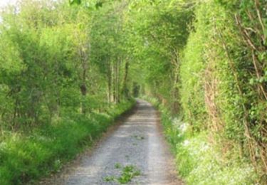
Sentier varié et vallonné
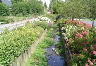
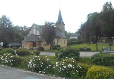
Belles maisons
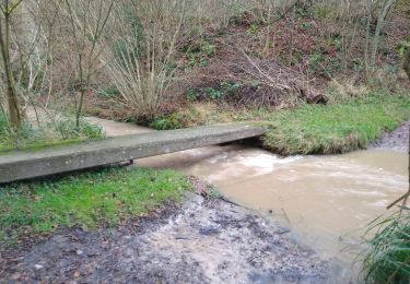
Piques-niques possibles à côté des gués (bancs)
Extension possible à l'ouest en passant par le bois des Fontaines, St André et St Symphorien
Walking
Walking

Walking
Walking
Walking

Mountain bike
Walking
Walking
Walking