


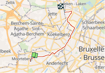

12.8 km | 15.1 km-effort


User


FREE GPS app for hiking
 SityTrail
IGN / Geographical institutes
SityTrail World
The world is yours!
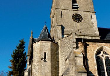
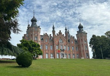
Trail Walking of 8.4 km to be discovered at Brussels-Capital, Unknown, Anderlecht. This trail is proposed by griffet.
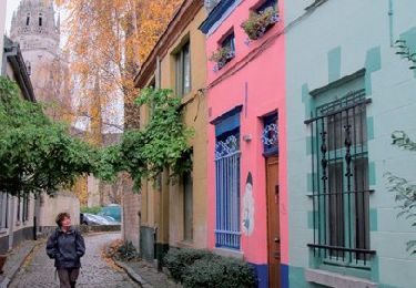
Une balade urbaine qui passe par chez « C’est si Bon », pour du bon pain et de succulentes pâtisseries, et chez Lulu, pour le plaisir de l’ambiance, manger un bout et voir de chouettes meubles et decos.
Retour en métro ou en bus (53)


Walking

Walking
Walking
Walking
Walking

Walking

Walking
Walking
Walking