25 km | 37 km-effort
Goult
© OpenStreetMap contributors
Walking
1h53
Difficulty : Easy
Length
6.9 km
Max alt
259 m
Uphill gradient
154 m
Km-Effort
9 km
Min alt
132 m
Downhill gradient
151 m
Boucle
Yes
Creation date :
2023-02-03 11:54:28.774
Updated on :
2023-02-03 15:17:46.316
1h53
Difficulty : Easy
FREE GPS app for hiking
About
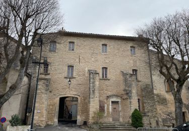
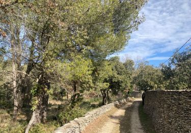
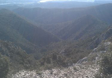
Trail Walking of 6.9 km to be discovered at Provence-Alpes-Côte d'Azur, Vaucluse, Goult. This trail is proposed by Philippe Brandenbourger.
Positioning
Country:
France
Region :
Provence-Alpes-Côte d'Azur
Department/Province :
Vaucluse
Municipality :
Goult
Location:
Unknown
Start:(Dec)
Start:(UTM)
679099 ; 4858534 (31T) N.
Comments
Trails nearby
Gde rando Ménerbes-Oppède-Les hautes Plaines-Abbayes de saint hillaire
Walking
Difficult
(1)
Ménerbes,
Provence-Alpes-Côte d'Azur,
Vaucluse,
France
23 km | 35 km-effort
2h 48min
Yes
84 Vallon du bausset (menerbes) et arche
Walking
Easy
Ménerbes,
Provence-Alpes-Côte d'Azur,
Vaucluse,
France
8.5 km | 14.9 km-effort
4h 25min
Yes
84 menerbes saignon Apt voie verte
Road bike
Medium
Ménerbes,
Provence-Alpes-Côte d'Azur,
Vaucluse,
France
90 km | 109 km-effort
8h 55min
No
vttpll_47_LES_BEAUMETTES_Du_Calavon_au_col_de_Gordes
Mountain bike
Easy
(1)
Beaumettes,
Provence-Alpes-Côte d'Azur,
Vaucluse,
France
13.1 km | 16.6 km-effort
1h 8min
Yes
PF-Beaumettes - La Virginière
Walking
Easy
Beaumettes,
Provence-Alpes-Côte d'Azur,
Vaucluse,
France
6.4 km | 7.5 km-effort
1h 45min
Yes
LACOSTE , Vaucluse, la forêt des cèdres o
Walking
Medium
Lacoste,
Provence-Alpes-Côte d'Azur,
Vaucluse,
France
13.3 km | 21 km-effort
4h 15min
Yes
PF-Goult - Beaumettes - Lumières - 15.03.2022
Walking
Difficult
Goult,
Provence-Alpes-Côte d'Azur,
Vaucluse,
France
13.2 km | 18.6 km-effort
3h 52min
Yes
PF-Goult - Beaumettes - Lumières
Walking
Difficult
Goult,
Provence-Alpes-Côte d'Azur,
Vaucluse,
France
13.3 km | 18.9 km-effort
4h 17min
Yes