


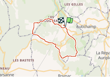

10.6 km | 15.7 km-effort


User


FREE GPS app for hiking
 SityTrail
IGN / Geographical institutes
SityTrail World
The world is yours!
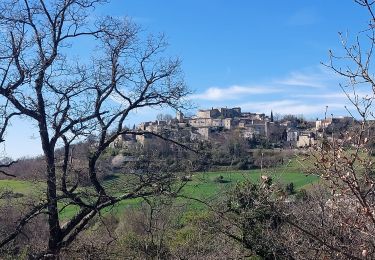
Trail Walking of 13.9 km to be discovered at Auvergne-Rhône-Alpes, Drôme, La Roche-sur-Grane. This trail is proposed by LydiaMich .
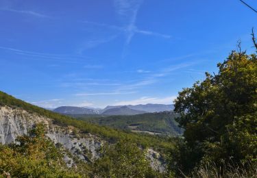
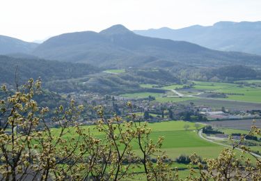
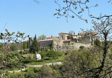
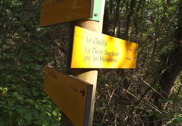
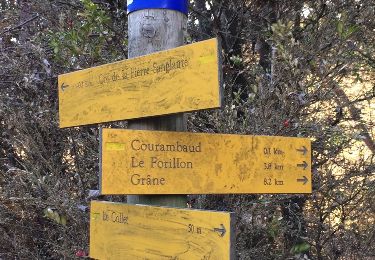
Randonnée bien sympathique en terrain varié sans difficulté. Un vieux balisage de couleur jaune est en place mais pas toujours bien visible ainsi que quelques panneaux d'indication. Après la randonnée ne pas oublier une petite visite du village en surplomb du parking de la Mairie lieu de départ de la rando. Crêtes bien ventées pour nous.
Walking
Walking

sport
Walking

Walking

Walking
Walking
Walking
Walking
Plus que superbe