1.1 km | 1.3 km-effort
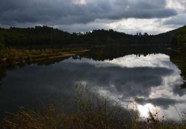
Lac de Meault
aljac
User
Length
7.5 km
Max alt
269 m
Uphill gradient
165 m
Km-Effort
9.7 km
Min alt
185 m
Downhill gradient
165 m
Boucle
Yes
Creation date :
2023-01-31 13:15:41.169
Updated on :
2023-02-01 04:33:55.445
1h51
Difficulty : Easy
FREE GPS app for hiking
About
Trail Walking of 7.5 km to be discovered at Provence-Alpes-Côte d'Azur, Var, Seillans. This trail is proposed by aljac.
Description
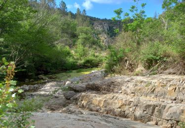
Attention passage dangereux le long du déversoir. Suivre le marquage jaune.
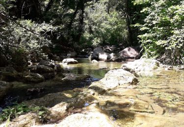
Positioning
Country:
France
Region :
Provence-Alpes-Côte d'Azur
Department/Province :
Var
Municipality :
Seillans
Location:
Unknown
Start:(Dec)
Start:(UTM)
308787 ; 4827967 (32T) N.
Comments
Trails nearby
gorge de Penafore
Walking
Very easy
(1)
Callas,
Provence-Alpes-Côte d'Azur,
Var,
France
1h 33min
Yes
Lac de Méaulx
Walking
Medium
Seillans,
Provence-Alpes-Côte d'Azur,
Var,
France
7.3 km | 9.5 km-effort
2h 9min
Yes
La catalane ,Font Blanche, les Cabanons
Walking
Medium
(1)
Callas,
Provence-Alpes-Côte d'Azur,
Var,
France
10.3 km | 14.2 km-effort
3h 19min
Yes
FAYENCE - TOUR DES CHAPELLES
Walking
Easy
Fayence,
Provence-Alpes-Côte d'Azur,
Var,
France
16.2 km | 21 km-effort
8h 3min
Yes
La Pigne
Walking
Easy
Seillans,
Provence-Alpes-Côte d'Azur,
Var,
France
16.3 km | 23 km-effort
5h 51min
Yes
Le lac de Meaulx
Walking
Medium
Seillans,
Provence-Alpes-Côte d'Azur,
Var,
France
10.8 km | 13.7 km-effort
2h 26min
Yes
St Paul en Forêt - Lac de Méaulx - Pont de l'Endre - Piste Colle Douce
Walking
Easy
Fayence,
Provence-Alpes-Côte d'Azur,
Var,
France
16.9 km | 22 km-effort
5h 32min
Yes
Fayence - ND des Cyprès - ND des Selves
Walking
Easy
Fayence,
Provence-Alpes-Côte d'Azur,
Var,
France
16.9 km | 22 km-effort
4h 27min
Yes
SityTrail - LAC DE MEAULT ?VERSION 15 KMS 340 M
Walking
Medium
(1)
Saint-Paul-en-Forêt,
Provence-Alpes-Côte d'Azur,
Var,
France
14.8 km | 19.3 km-effort
4h 7min
Yes