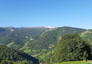
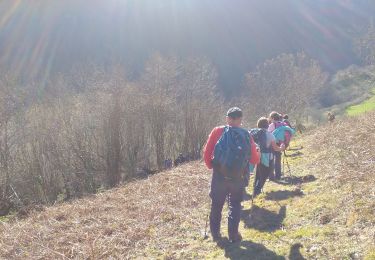
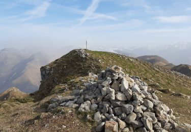
9.9 km | 15.7 km-effort
SARRANCE / ACCOUS collecte numerique GR 653 10
marmotte65
User GUIDE
Length
12.7 km
Max alt
536 m
Uphill gradient
379 m
Km-Effort
17.3 km
Min alt
342 m
Downhill gradient
247 m
Boucle
No
Creation date :
2023-01-30 09:35:48.546
Updated on :
2023-03-10 04:18:05.067
3h57
Difficulty : Easy
FREE GPS app for hiking
About
Trail On foot of 12.7 km to be discovered at New Aquitaine, Pyrénées-Atlantiques, Sarrance. This trail is proposed by marmotte65.
Positioning
Country:
France
Region :
New Aquitaine
Department/Province :
Pyrénées-Atlantiques
Municipality :
Sarrance
Location:
Unknown
Start:(Dec)
Start:(UTM)
695378 ; 4769142 (30T) N.
Comments
Trails nearby
Tour Bilboquet-Barescou asp01
On foot
Easy
Escot,
New Aquitaine,
Pyrénées-Atlantiques,
France
3h 34min
Yes
Soum de Pirait
Walking
Easy
Osse-en-Aspe,
New Aquitaine,
Pyrénées-Atlantiques,
France
5.9 km | 9.1 km-effort
2h 26min
Yes
escot le bilboquet G3 fait
Walking
Very easy
Escot,
New Aquitaine,
Pyrénées-Atlantiques,
France
7.1 km | 12.5 km-effort
4h 57min
No
Tour Arreugle-Massey asp112
On foot
Easy
Osse-en-Aspe,
New Aquitaine,
Pyrénées-Atlantiques,
France
4.9 km | 10.5 km-effort
2h 23min
Yes
Cabanes et Crêtes du Layens asp38
On foot
Easy
Osse-en-Aspe,
New Aquitaine,
Pyrénées-Atlantiques,
France
7.7 km | 14 km-effort
3h 11min
No
Sum du Layens
Walking
Difficult
Osse-en-Aspe,
New Aquitaine,
Pyrénées-Atlantiques,
France
14.2 km | 27 km-effort
6h 35min
Yes
Col Laundé
Trail
Easy
Sarrance,
New Aquitaine,
Pyrénées-Atlantiques,
France
5.6 km | 10.7 km-effort
1h 12min
Yes
Tumulus de la serre - Issor
Walking
Medium
Issor,
New Aquitaine,
Pyrénées-Atlantiques,
France
4.8 km | 7.5 km-effort
1h 30min
Yes
Pic Roumendarès 1646m
Walking
Difficult
(1)
Escot,
New Aquitaine,
Pyrénées-Atlantiques,
France
6.2 km | 17.3 km-effort
4h 15min
Yes