18.4 km | 24 km-effort
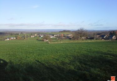
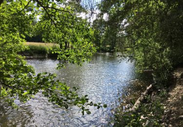
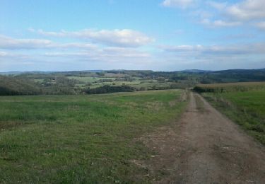
Hotton par monts et par vaux
Boxbonne
User
Length
12.9 km
Max alt
411 m
Uphill gradient
304 m
Km-Effort
17 km
Min alt
174 m
Downhill gradient
304 m
Boucle
Yes
Creation date :
2023-01-30 12:01:51.0
Updated on :
2023-01-30 14:56:14.954
2h36
Difficulty : Easy
FREE GPS app for hiking
About
Trail Walking of 12.9 km to be discovered at Wallonia, Luxembourg, Hotton. This trail is proposed by Boxbonne.
Positioning
Country:
Belgium
Region :
Wallonia
Department/Province :
Luxembourg
Municipality :
Hotton
Location:
Unknown
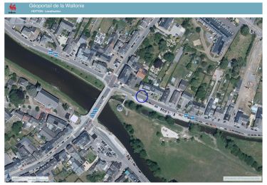
Start:(Dec)
Start:(UTM)
674203 ; 5571327 (31U) N.
Comments
Trails nearby
RF-Lu-03 Sur la Calestienne, entre Ardenne et Famenne : Hotton
Walking
Very easy
(3)
Hotton,
Wallonia,
Luxembourg,
Belgium
11.7 km | 15.3 km-effort
3h 16min
Yes
Arboretum et Ourthe
Walking
Medium
(3)
Rendeux,
Wallonia,
Luxembourg,
Belgium
9 km | 12 km-effort
3h 15min
Yes
Fronville - Monteuville - Petihan
Walking
Easy
(1)
Hotton,
Wallonia,
Luxembourg,
Belgium
13 km | 14.8 km-effort
2h 11min
Yes
Saint-Pierre
Walking
Easy
(3)
Hotton,
Wallonia,
Luxembourg,
Belgium
10.9 km | 12.1 km-effort
2h 43min
Yes
De werpin a werpin via Trinal
Walking
Easy
(1)
Hotton,
Wallonia,
Luxembourg,
Belgium
9.3 km | 12.4 km-effort
2h 38min
Yes
20241015 - TOTEMUS HOTTON - 5.4 Km
Walking
Medium
Hotton,
Wallonia,
Luxembourg,
Belgium
5.4 km | 6.8 km-effort
2h 19min
Yes
2024-07-29_09h57m47_gpxfile
sport
Very easy
(1)
Hotton,
Wallonia,
Luxembourg,
Belgium
9.3 km | 13 km-effort
Unknown
Yes