


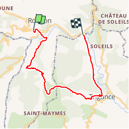

9.3 km | 18.6 km-effort


User


FREE GPS app for hiking
 SityTrail
IGN / Geographical institutes
SityTrail World
The world is yours!
Trail Walking of 15.4 km to be discovered at Provence-Alpes-Côte d'Azur, Alpes-de-Haute-Provence, Rougon. This trail is proposed by ARPF.
P2 T2 Mireille & Jacques 12/10/2014.
Déposer voiture au pont de Carajuan pour éviter un retour avec 350m de dénivelé
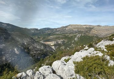
Passer par RANCOUMAS très beau point de vue
Pique nique au col (1161m).
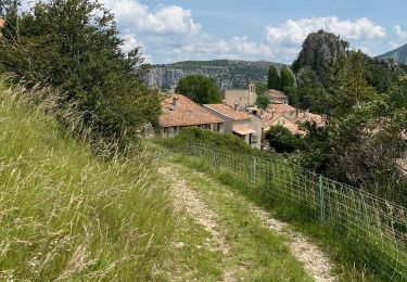
Visiter Trigance , vieux village et chateau (hôtel).

Walking

Walking

Walking

Walking

Walking

Walking
Walking
Walking
Walking