


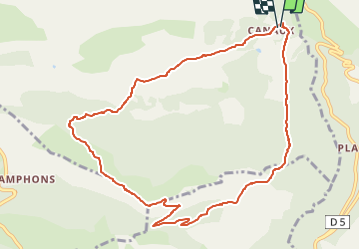


14.7 km | 19.9 km-effort

User


FREE GPS app for hiking
 SityTrail
IGN / Geographical institutes
SityTrail World
The world is yours!
Trail Walking of 11.1 km to be discovered at Provence-Alpes-Côte d'Azur, Maritime Alps, Andon. This trail is proposed by boulinevelyne.
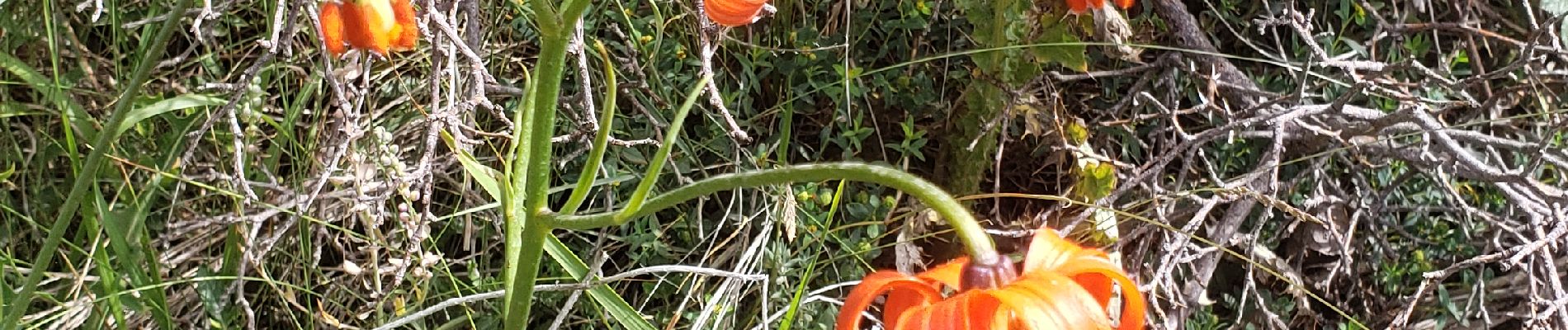
Lys pomponne et autres fleurs
Prévoir anti moustique beaucoup de Taons
2 voitures à Canaux et navette ensuite

Walking

Walking

Walking

Walking

On foot

Walking

Walking
Walking

Walking