


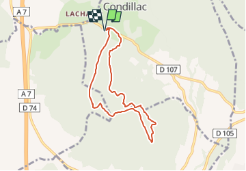


14.9 km | 25 km-effort


User


FREE GPS app for hiking
 SityTrail
IGN / Geographical institutes
SityTrail World
The world is yours!
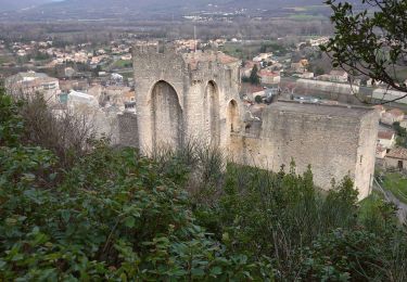
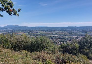
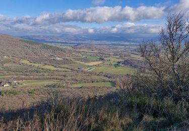
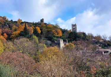
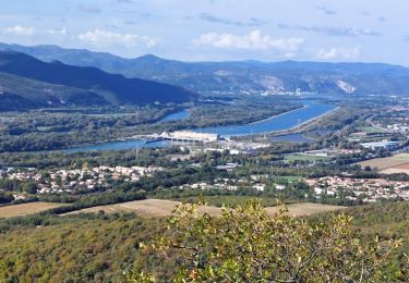
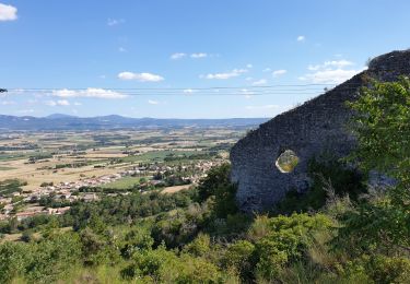
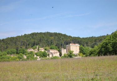
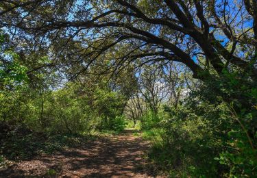
Trail Walking of 7.2 km to be discovered at Auvergne-Rhône-Alpes, Drôme, Condillac. This trail is proposed by Maryma.
Rando proposée par Montélimar Agglomération.
Carte disponible à l'Office de Tourisme de Montélimar.
Walking
Walking
Walking
Walking
Walking
Walking
Walking
Walking
Walking