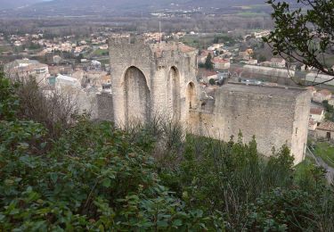
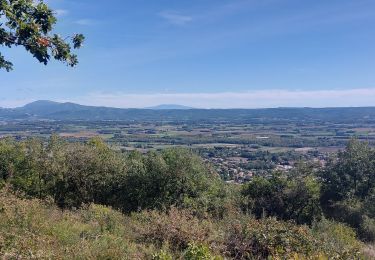
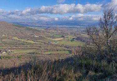
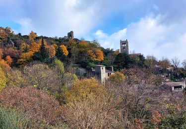
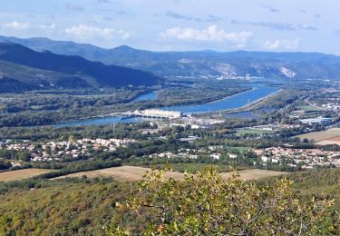
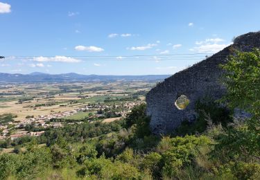
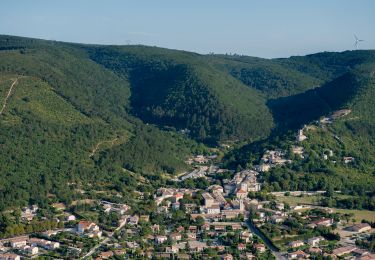
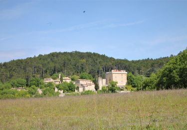
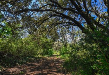
Trail Walking Condillac - Le Rocher de Ruas - Photo
 Maryma
Maryma

User

© OpenStreetMap contributors
Length
Length
7.2 km
Max alt
Max alt
417 m
Uphill gradient
Uphill gradient
335 m
Km-Effort
Km-Effort  
11.6 km
Min alt
Min alt
168 m
Downhill gradient
Downhill gradient
334 m
Boucle
Boucle
Yes
Creation date :
2023-01-27 06:50:08.754
Updated on :
2023-01-27 06:58:01.074

(1 Reviews)

Walking
Walking
2h38
Difficulty : Medium

Scan this QR Code to open this trail in the SityTrail application

FREE GPS app for hiking

Logo SityTrail SityTrail

IGN / Geographical institutes

Download SityTrail from the App Store Download SityTrail from Google Play

Logo SityTrail SityTrail World

The world is yours!

Download SityTrail from the App Store Download SityTrail from Google Play Download SityTrail on Huawei AppGallery

About

Trail Walking of 7.2 km to be discovered at Auvergne-Rhône-Alpes, Drôme, Condillac. This trail is proposed by Maryma.

Description

Rando proposée par Montélimar Agglomération.
Carte disponible à l'Office de Tourisme de Montélimar.

Elevation profile

Points of interest

Point of interest Condillac - Mairie de Condillac - Photo
Maryma
Point of interest Condillac - Intersection  - Photo
Maryma
CONDILLAC 
Point of interest Savasse - Butte - Photo
Maryma
SAVASSE 
Point of interest Savasse - Bifurcation à gauche - Photo
Maryma
Point of interest Sauzet - Col des Grands Abris - Photo
Maryma
Point of interest Sauzet - Crête de Ruas - Photo
Maryma
Point of interest Condillac - Intersection, à droite - Photo
Maryma
Point of interest Condillac - Mairie de Condillac - Photo
Maryma

Positioning

Country:
France
Region :
Auvergne-Rhône-Alpes
Department/Province :
Drôme
Municipality :
Condillac
Location:
Unknown
Start:(UTM)
643761 ; 4944297 (31T) N.

Comments

Please log in to post a review or rate the element


Trails nearby

Trail Walking Cruas - 07 cruas st Vincent de barres - Photo
Walking
GUIDE
randodyssée

Walking

Medium
(1)
Cruas, Auvergne-Rhône-Alpes, Ardèche, France
14.9 km | 25 km-effort
4h 23min
Yes
Trail Walking Marsanne - 26 marsanne - Photo
Walking
GUIDE
randodyssée

Walking

Medium
Marsanne, Auvergne-Rhône-Alpes, Drôme, France
21 km | 30 km-effort
5h 43min
Yes
Trail Walking Condillac - Condillac
Walking
chancha

Walking

Medium
Condillac, Auvergne-Rhône-Alpes, Drôme, France
7.1 km | 11.6 km-effort
2h 38min
Yes
Trail sport Marsanne - Marsanne grande limite ND Fresneau - Photo
sport
alinetpierre

sport

Very easy
Marsanne, Auvergne-Rhône-Alpes, Drôme, France
14.2 km | 21 km-effort
Unknown
Yes
Trail Walking Marsanne - Marsanne Les Fileuses 11km - Photo
Walking
chancha

Walking

Difficult
Marsanne, Auvergne-Rhône-Alpes, Drôme, France
10 km | 14.5 km-effort
3h 17min
Yes
Trail Walking La Coucourde - La Coucourde : Alpion et Tas de Pierre 6km - Photo
Walking
chancha

Walking

Medium
La Coucourde, Auvergne-Rhône-Alpes, Drôme, France
6 km | 8.9 km-effort
2h 3min
Yes
Trail Walking Marsanne - 2022-09-27_14h01m03_14402824 - Photo
Walking
chancha

Walking

Very difficult
Marsanne, Auvergne-Rhône-Alpes, Drôme, France
23 km | 33 km-effort
7h 34min
Yes
Trail Walking Marsanne - 2022-09-27_13h58m49_14402807 - Photo
Walking
chancha

Walking

Medium
Marsanne, Auvergne-Rhône-Alpes, Drôme, France
4.4 km | 7.5 km-effort
1h 42min
Yes
Trail Walking Condillac - 2022-09-27_13h27m21_14402803 - Photo
Walking
chancha

Walking

Medium
(1)
Condillac, Auvergne-Rhône-Alpes, Drôme, France
7.2 km | 11.7 km-effort
2h 38min
Yes


Close
My subscriptions