


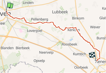

18.1 km | 22 km-effort


User GUIDE


FREE GPS app for hiking
 SityTrail
IGN / Geographical institutes
SityTrail World
The world is yours!
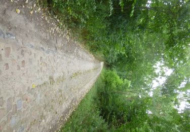
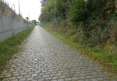
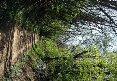
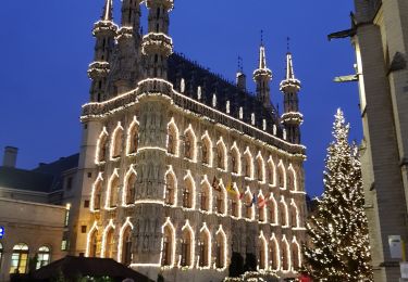
Trail Walking of 23 km to be discovered at Flanders, Flemish Brabant, Leuven. This trail is proposed by Charles Lemaire.
Une promenade sans grande difficulté (sauf quelques petits passages boueux) mais dans un cadre exceptionnellement calme dès qu'on a quitté la gare de Leuven.
Walking
Walking
On foot
On foot
On foot
On foot
Walking

Mountain bike

Walking