


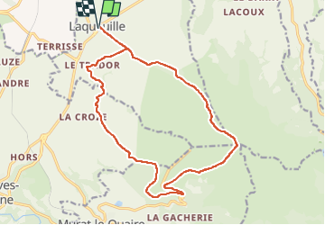

10.6 km | 14.6 km-effort

User GUIDE


FREE GPS app for hiking
 SityTrail
IGN / Geographical institutes
SityTrail World
The world is yours!
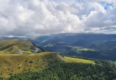
Trail Walking of 18.4 km to be discovered at Auvergne-Rhône-Alpes, Puy-de-Dôme, Laqueuille. This trail is proposed by jagarnier.
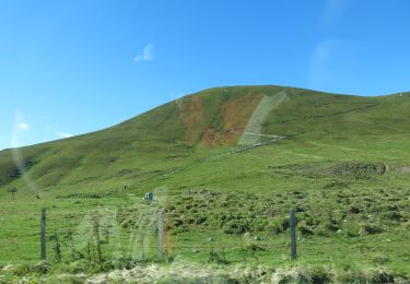
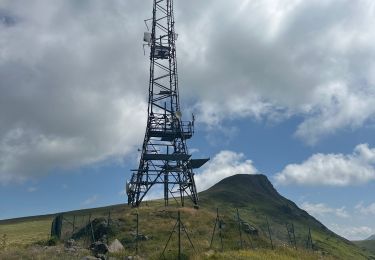
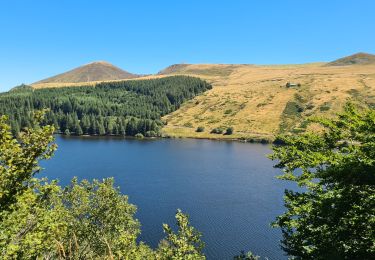
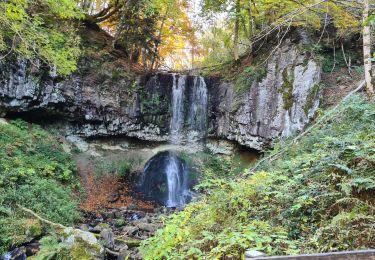
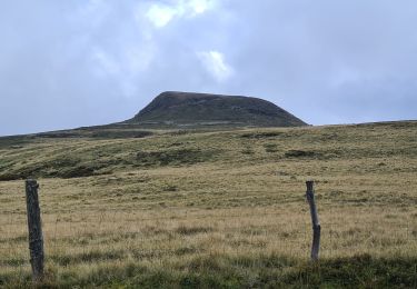
Le circuit mène à la cascade du Trador qui dévale les orgues basaltiques sur deux étages, puis conduit au sommet de la banne d’Ordanche. La borne des 4 Seigneurs marque la jonction des communes Perpezat, Laqueuille, Murat-le-Quaire et Le Mont-Dore.


Walking
On foot

On foot
On foot
Walking
Walking
Walking
Walking
On foot