11.2 km | 14.6 km-effort
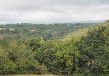
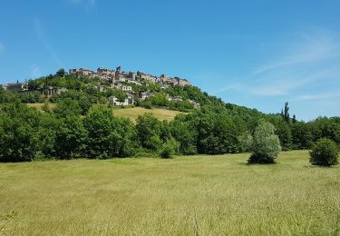
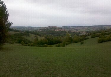
tour plan d'eau, Frausseilles
christiemporial
User
Length
7.1 km
Max alt
293 m
Uphill gradient
135 m
Km-Effort
8.9 km
Min alt
204 m
Downhill gradient
134 m
Boucle
Yes
Creation date :
2023-01-23 09:24:31.668
Updated on :
2023-01-23 10:29:01.215
1h04
Difficulty : Very easy
FREE GPS app for hiking
About
Trail Running of 7.1 km to be discovered at Occitania, Tarn, Souel. This trail is proposed by christiemporial.
Positioning
Country:
France
Region :
Occitania
Department/Province :
Tarn
Municipality :
Souel
Location:
Unknown
Start:(Dec)
Start:(UTM)
416577 ; 4875451 (31T) N.
Comments
Trails nearby
Cordes-sur-ciel / Sentier du Causse (boucle)
Walking
Easy
(3)
Souel,
Occitania,
Tarn,
France
3h 8min
Yes
81_Les Cabannes_meulière_longue
Walking
Medium
(1)
Amarens,
Occitania,
Tarn,
France
16.4 km | 23 km-effort
4h 51min
Yes
81_Cahuzac sur Vère
Walking
Medium
(1)
Cahuzac-sur-Vère,
Occitania,
Tarn,
France
17.3 km | 22 km-effort
3h 40min
Yes
Cordes sur Ciel
Walking
Easy
Cordes-sur-Ciel,
Occitania,
Tarn,
France
13.8 km | 17.6 km-effort
6h 0min
Yes
cahuzac sur sere sentier des lavoirs
Walking
Very easy
(1)
Cahuzac-sur-Vère,
Occitania,
Tarn,
France
18.4 km | 22 km-effort
5h 39min
Yes
Cordes-Pechbonnieu
Walking
Medium
Cordes-sur-Ciel,
Occitania,
Tarn,
France
95 km | 114 km-effort
30h 0min
No
Aveyron-121016 - Cordes-SentierBleu (txt,gps,foto)
Walking
Very easy
Cordes-sur-Ciel,
Occitania,
Tarn,
France
12.5 km | 17 km-effort
5h 11min
Yes
Aveyron-121010 - Amarens-Castelnau (txt,gps,foto)
Walking
Very easy
Amarens,
Occitania,
Tarn,
France
22 km | 27 km-effort
7h 56min
No