


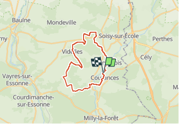

21 km | 25 km-effort


User


FREE GPS app for hiking
 SityTrail
IGN / Geographical institutes
SityTrail World
The world is yours!
Trail Walking of 26 km to be discovered at Ile-de-France, Essonne, Courances. This trail is proposed by SCHAKUB.
randonnée reconnue le 23/11/2022
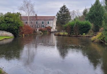
très agréable.
attention en temps de pluie : boueux et glissant
3 belles côtes : km4.8/5.5 de 87 à 143
km 10.5/11 de 88 à 134
km 12/13 de 80 à 134

On foot

Walking

Walking

Walking

On foot

Walking
Walking

On foot

Walking