


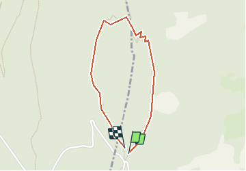

17.2 km | 29 km-effort


User


FREE GPS app for hiking
 SityTrail
IGN / Geographical institutes
SityTrail World
The world is yours!
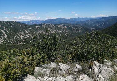
Trail Walking of 1.7 km to be discovered at Auvergne-Rhône-Alpes, Drôme, Châteauneuf-de-Bordette. This trail is proposed by yveshumbert.
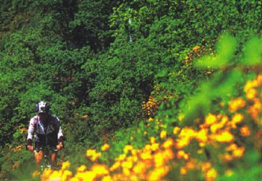
Randonnée didactique pour toute la famille. Sur le chemin il y a des panneaux qui expliquent la faune et la flore de la région.
Walking
Walking
Walking
Mountain bike
Walking
Walking
Walking
Walking

Road bike